Estimated read time: 4-5 minutes
This archived news story is available only for your personal, non-commercial use. Information in the story may be outdated or superseded by additional information. Reading or replaying the story in its archived form does not constitute a republication of the story.
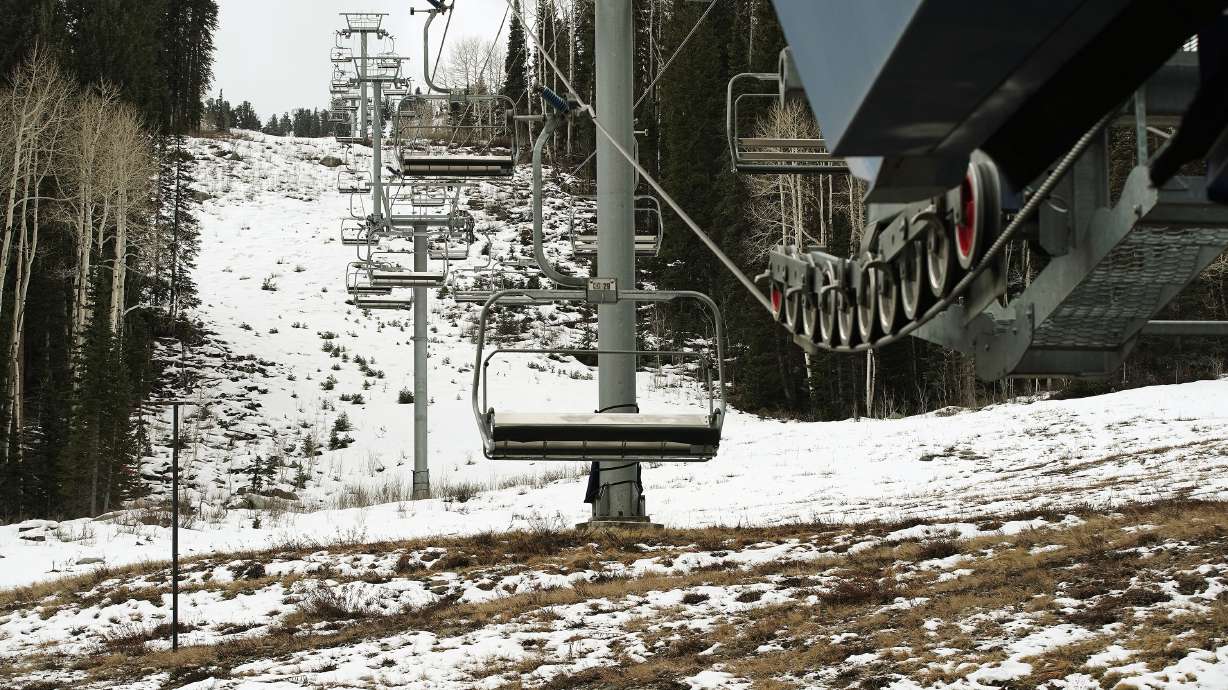
LOGAN — Most of northern Utah is trending toward a normal winter, but many "low-to-middle elevations" areas may end up with rain instead of snow due to warmer-than-average temperatures expected during the season, Utah State University's Utah Climate Center wrote in a new winter outlook report.
The report, released Wednesday, adds that "substantial" precipitation — whether it's rain or snow — is needed for the statewide drought to end. The hope, climate center experts say, is that Utah will continue a precipitation trend that's lifted 2021 from being on pace for the eighth-driest year on record to a more average year.
"The last few months are exactly what's needed in terms of drought improvement heading into the wintertime," Utah Climate Center researcher Jon Meyer said in a statement.
The northern and central portion of Utah has a 33% chance of receiving near-normal precipitation, according to the Utah Climate Center projections. They added that portions of southern Utah have a 33-40% probability for below-normal precipitation. The winter outlook is similar to an outlook issued by the National Weather Service's Climate Prediction Center last month.
Both outlooks show the influence of a La Nina pattern that's emerged in the Pacific Ocean for the second-straight winter. Utah climate experts said in October that La Nina typically doesn't have an immediate impact on the Beehive State, in that Utah has experienced almost an equal amount of dry, wet or average precipitation during La Nina winters. That said, projections indicate northern Utah may have a slightly greater chance for a wet winter while southern Utah may have a slightly greater chance for a dry winter.
Avik Mukherjee, a post-doctoral researcher with the Utah Climate Center, said a likelihood for warmer-than-average winters is the one aspect that all Utah regions have in common, based on the computer projections. The center lists northern Utah as having a 35% chance of above-normal temperatures; it's 42-50% in southern Utah. Per Mukherjee, that can lead to "more frequent rain instead of snowfall in low-to-middle elevations when the storms do pass through."
Related:
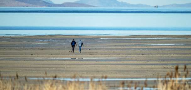
Whether Utah ends up with rain or snow, it's going to need a lot of it to get out of its drought. The Utah Division of Water Resources issued a report Wednesday that the total statewide reservoir storage is at 49% of capacity even after a wet October; the report added 37 of Utah's largest 45 reservoirs are below 55% of available capacity.
"We have a long way to go," said Brian Steed, executive director of the Department of Natural Resources. "Snowpack typically peaks around the first week of April, which means we have five months to collect as much snowpack as possible. While we wait on our snowpack, we will continue to plan for all scenarios if the snowpack doesn't replenish our water storage."
The climate center projects the state needs to collect 166% of its normal precipitation between this month and April to break out of the drought. It's a figure that's rare but not unheard of. Meyer said Utah has received that figure six times since 1980, with the highest being 182% in 1983.
That said, five of the six wettest winters came during El Nino winter patterns and the sixth, in 2011, came during what's called ENSO-neutral conditions, or neither La Nina or El Nino oceanic patterns. Meyer said that means it's more than likely that Utah's drought will continue after the winter.
However, that doesn't mean this upcoming winter doesn't have a chance at being impactful for the state's low reservoirs. The Utah Division of Water Resources reports that recent storms mean that the state's soil moisture levels are 16% above normal for mid-November, making it more likely that snowmelt will end up in reservoirs during the spring.
"While it is impossible to entirely recover from the current drought from just one good winter season," Meyer said, "the rebound of soil moisture over the last few months means that even the same underwhelming winter snowpack as we experienced last year would still translate to much greater water storage next spring because the soils are much wetter and won't absorb nearly as much of the spring melt as they did last spring."


