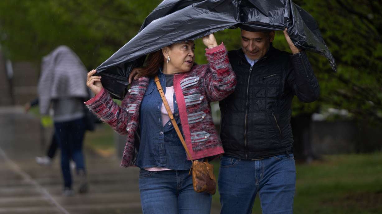
- A monsoonal system may bring relief to Utah this week.
- Scattered showers are possible through Thursday.
- Microburst and flash flooding risks also exist.
SALT LAKE CITY — Utah's drought has intensified in recent weeks, but help could soon be on the way.
A "light" monsoonal system is forecast for the middle of this week, thanks to a pair of storms near Utah that should rotate moisture in the state, said KSL meteorologist Matt Johnson. A high-pressure system near the Four Corners is helping push water vapor from the Gulf of Mexico, also referred to as the Gulf of America, toward Utah, while a low-pressure system off the California coast may do the same from the Pacific Ocean.
"It's not the deepest tap of monsoonal moisture, but it is something, and it's going to increase our rain chances as we head through midweek," he said. "We'll see some showers out of it."
A few small showers popped up on Monday, but more scattered showers are expected across the state beginning Tuesday afternoon. Thunderstorms and microbursts are possible, including a "marginal" risk of severe storms near the West Desert, according to the National Weather Service.
The storm probability increases again on Wednesday and Thursday as more rain from the two systems ends up in Utah, Johnson added. Drier conditions are expected to return by the Fourth of July and the holiday weekend.
MICROBURST POTENTIAL: I'm keeping an eye on some scattered t-storms that could produce some downdraft winds tomorrow Tuesday July 1st. Risk level 1/4 on the scale, but definitely something to watch if you live in the dark green shading (Southern ID, northest NV and northwest UT). pic.twitter.com/I06EqxPCHk
— Matthew Johnson (@KSL_Matt) June 30, 2025
Precipitation totals will vary across the state, depending on where a storm pops up. Monsoonal storms can often dump heavy totals in localized areas, leading to flooding potential, but they also leave some communities without much precipitation.
The National Weather Service advises people to use caution in slot canyons, normally dry washes and near recent wildfire burn scars in central and southern Utah on Wednesday and Thursday, as there are some elevated flash flooding risks.
Full seven-day forecasts for areas across Utah can be found online at the KSL Weather Center.
More to come?
Although KSL Weather models indicate that the incoming moisture could be relatively small, Johnson pointed out that this week could be the start of more summer monsoon moisture to come. Utah has a slight probability for above-normal moisture through the first half of July, with greater chances in southern Utah, per the National Weather Service's Climate Prediction Center.
The center updated its outlook for July on Monday, listing all of Utah as having "equal chances." That means there is no clear signal whether July will be wetter or drier than normal, or close to normal. It snaps a streak of months where outlooks have favored drier conditions, which have come to fruition.
Utah ended May on pace for its 16th driest water year since 1895, according to National Centers for Environmental Information data. Precipitation in places like Salt Lake City remains nearly 4 inches below normal for this point in the water year, which began on Oct. 1.
That, mixed with poor snowpack collections in central and southern Utah, has left most of the state in drought. Over 90% of Utah is now in moderate or severe drought, while the rest of the state is "abnormally dry," the U.S. Drought Monitor reported. Gov. Spencer Cox called for a "statewide day of prayer and fasting for rain" that happened on Sunday, as conditions have worsened this summer.
The Beehive State also increased its outdoor fire restrictions, implementing them on all state and unincorporated lands. It matches similar restrictions on many federal lands in the state.
Over 400 fires have started in Utah this year, which have burned more than 52,000 acres of land. The largest of these is the France Canyon Fire near Bryce Canyon, At over 33,000 acres, it is now the largest in Utah since 2020.
The Forsyth Fire has been the most destructive this year, burning 18 structures in the Pine Valley area of Washington County.


