Estimated read time: 2-3 minutes
This archived news story is available only for your personal, non-commercial use. Information in the story may be outdated or superseded by additional information. Reading or replaying the story in its archived form does not constitute a republication of the story.
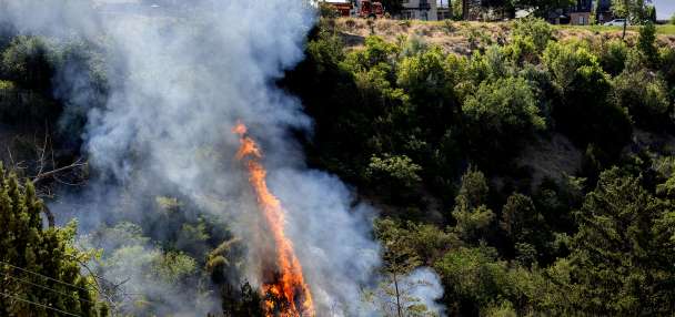
SALT LAKE CITY — When the mountain peaks are not visible from the middle of the valley, there's pollution in the air.
On Saturday, Utah got a hefty dose of smoky air in the moderately unhealthy range from wildfires burning in Canada. But, according to a smoke scientist from the University of Utah, this isn't a typical weather pattern for Utah, so we shouldn't be stuck with this bad air for too long.
"You can see how the smoke is being kind of pulled down towards the south," explained Derek Mallia, a research assistant professor at the University of Utah who studies the impact of wildfires on our air quality.
"We're getting winds coming from the north, transporting that smoke down to the south, across areas like Utah, Colorado," he continued.
The smoky air is wafting across the plains, into the upper Midwest. Fortunately, Utah is not getting the worst of it.
"The worst air quality, though, is probably located across the front range of Colorado, in Denver," Mallia said.
This is not a typical weather pattern. More often, Utah's smoky air blows in from California, Oregon and Washington. It's also unusual to have such large wildfires in May because most fuels have not dried enough to burn. But, unlike our winter, Alberta had a dry winter season.
"This is why they're seeing a lot of wildfire activity across this area," Mallia said, adding that the massive smoke plume also creates pyrocumulonimbus clouds, which are fire-generated thunderstorms. The fire releases enough heat energy that it creates its own weather.
"It's really efficient at lofting smoke from the fire at the surface, very high up into the atmosphere, which increases the likelihood that it can get injected within the jet stream," he said.
Once the smoke is in the jet stream, it can travel a long distance before it disperses.
"The smoke plume is basically hitting the top of the atmosphere," Mallia said. "That is where most of our weather resides. So basically, it hits the top of the atmosphere and spreads out kind of like a pancake."
The smoke scientist developed a five-day smoke forecast model with a colleague, that is still in the testing phase but provides good information. He believes the worst of Canada's smoke will only be in Utah for a couple more days.