Estimated read time: 2-3 minutes
This archived news story is available only for your personal, non-commercial use. Information in the story may be outdated or superseded by additional information. Reading or replaying the story in its archived form does not constitute a republication of the story.
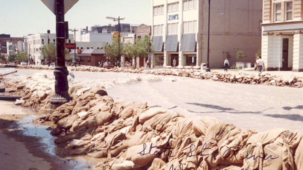
SALT LAKE CITY — Memorial Day weekend marks the 30th anniversary of a massive flood that turned State Street in downtown Salt Lake City into a river.
The 1981–1982 water year had broken records, and officials had been concerned since at least Sept. 1982 that come May, there would be more water than the city could handle.
There were mudslides in Big and Little Cottonwood canyons in fall 1982, and flooding creeks damaged 300 homes, roads and bridges. Gov. Scott Matheson declared a state of emergency but was denied federal aid.
The autumnal floods foreshadowed something bigger, as a mild January and February paved the way for a record-breaking March. Levees and dikes were constructed in an effort to keep the Jordan River from overflowing as efforts were made to keep Utah Lake at normal levels.
April brought even worse weather, as high moisture levels mixed with winds of up to 100 mph to do millions of dollars' worth of damage along the Wasatch Front. Cracks in the ground near the Capitol caused roads to slump and be closed.
Water levels in the Great Salt Lake rose so much that the newly opened Saltair III, built eight feet above the lake's usual level, was rendered useless, its floors below water level.
Rain and snow continued throughout May until the last week of the month, when temperatures rose into the 80s. Officials transformed 1300 South into a river flowing between 600 West and the Jordan River in an effort to control the runoff from Parleys, Red Butte and Emigration creeks. It didn't solve the city's problems.
#poll
Temperatures rose into the 90s over Memorial Day weekend, and City Creek, which runs along North Temple, overflowed, reaching the LDS Church Office Building and running into Temple Square. Buildings on Temple Square and the Salt Palace were sandbagged as water overtook South Temple.
The newly formed river rushed along State Street toward the river at 1300 South, but was contained at 800 South. Water continued to flow for weeks, though, and temporary bridges had to be built to allow vehicles and pedestrians to get around the city.
Volunteers united throughout the city to fight the flooding, forming sandbag chains and helping those displaced by the water. Watch the video above to see the flood through the eyes of some of those who were there.


