Estimated read time: 3-4 minutes
- Utah's 2026 water year began with record-breaking warmth and precipitation, experts report.
- November was Utah's warmest since at least 1895, contributing to slow snowpack start.
- Experts urge water conservation despite potential for improved snowpack conditions later this season.
SALT LAKE CITY — Utah's 2026 water year is only in its third month, but the first two have already provided "a bit of whiplash" between record-breaking precipitation and record-breaking warmth, federal snowpack experts say.
It's why they say Utah's snowpack has gotten off to a "slow start," ending up just 46% of normal by the end of November.
"Things started very strong. ... Then our weather turned hot and dry," wrote Jordan Clayton, a hydrologist for the Natural Resources Conservation Service and supervisor of the Utah Snow Survey, in its first water report update of the new water year.
Last month was Utah's warmest November since at least 1895, according to federal climate data released this week. The statewide average of 44.4 degrees Fahrenheit shattered the previous record set in 2017 by nearly 1½ degrees.
Every county either set a new temperature record or nearly set one, with most ending up close to 10 degrees above their 20th-century averages.
It was also Utah's 49th-driest November in 131 years, following what was the state's 23rd-wettest October in 131 years. Some parts of the state, including Salt Lake City, set moisture records during the first month of the water year.
Precipitation totals were 156% of normal across the Conservation Service's mountain snowpack sites in October, but most of that came as rain instead of boosting snowpack early. While snow started to pick up in November, mountain precipitation levels ended up 65% of normal last month, leading to the lower snowpack totals thus far, Clayton points out.
Snowpack — a measure of the water contained in mountain snow — is vital in Utah. It accounts for approximately 95% of Utah's water supply, according to the state. This winter can help refill the state's reservoirs, which tumbled from a statewide peak of 87% capacity this summer to a low of 60% in October.
Utah's reservoirs have been on an upward swing since the end of the irrigation season, though. They're now at 63% capacity statewide, over 7 percentage points above the median average for this point in the year, per Utah Division of Water Resources data updated on Wednesday.
Yet some reservoirs remain significantly low, which experts say is concerning given the current conditions.
"While we can hope for abundant snow accumulation this winter and an above-normal runoff season, we recommend conserving Utah's existing water supply in the meantime," Clayton wrote.
Warm and dry conditions return
Last week's storm gave Utah's snowpack a much-needed boost, but the statewide average remains at just 69% of normal for the second week of December, as of Wednesday.
This week's forecast won't help. A high-pressure system currently over the Pacific Coast will continue to prevent storms from entering Utah as it moves closer to shore, said KSL meteorologist Matt Johnson. Most of the moisture in the West will remain north of the state this week.
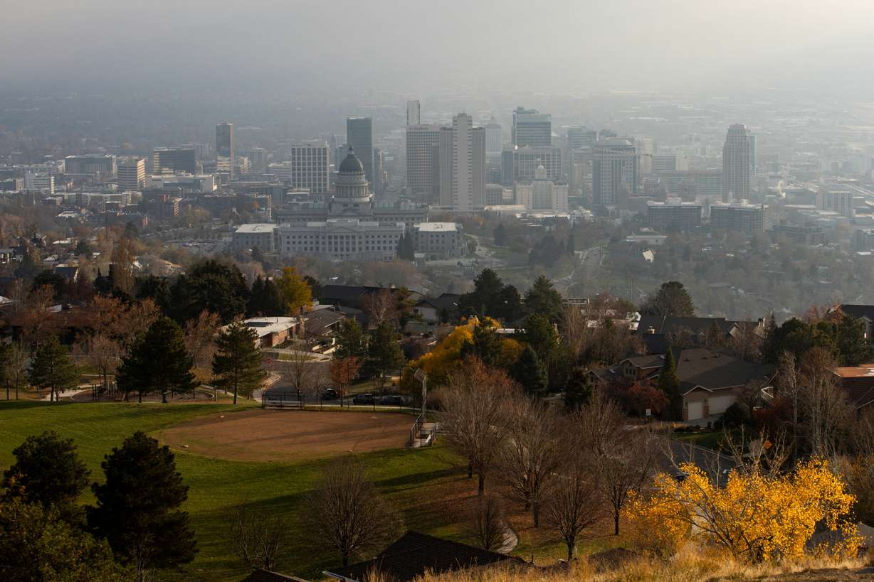
High temperatures will remain in the mid-to-upper 50s across the Wasatch Front, before inversion haze likely builds up and causes temperatures to slide a bit, he added. Inversion haze is forecast to return by the weekend and into next week, as the high-pressure system blocks out storms.
Long-range forecasts suggest Utah's warmth and dry conditions could linger through the middle of the month, before precipitation may return closer to the end of it.
There's also "plenty of time to turn things around" because it's still early enough in the season, Clayton adds. Utah's average snowpack peak is in early April, and nearly two-thirds of the state's average snowpack collection comes after New Year's Day.
The other bright side comes from what's fallen already. October's above-normal precipitation pushed soil moisture levels to the 80th percentile, which may benefit the state at the end of the snowpack season.
"The fact that we have above-normal soil moisture conditions may be positive news for our snowmelt runoff efficiency next spring," Clayton wrote.