Estimated read time: 3-4 minutes
This archived news story is available only for your personal, non-commercial use. Information in the story may be outdated or superseded by additional information. Reading or replaying the story in its archived form does not constitute a republication of the story.
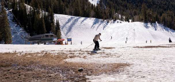
SALT LAKE CITY — Utah passed its average snowpack collection peak earlier this week, but at least one more storm will tack onto what has already been an above-average year.
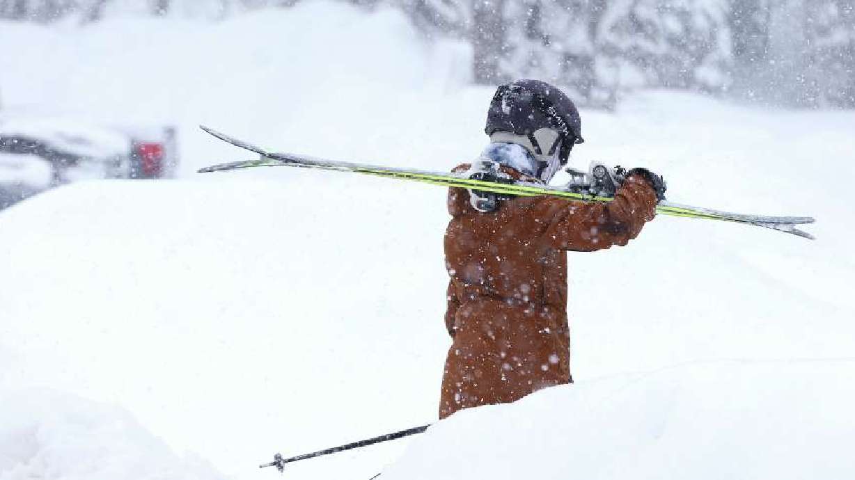
The National Weather Service updated its winter weather advisory for the Wasatch Mountains on Friday morning. Most locations within the range may receive 8 to 16 inches of snow, but the advisory notes that the upper Cottonwood canyons could end up with as much as 2 feet of snow this weekend.
The latest storm is making its way into Utah from California, says KSL meteorologist Matt Johnson. A cold front out ahead of the core low-pressure is expected to arrive in the Wasatch Front by early Friday afternoon, producing some valley rain and mountain snow showers as it arrives.
The incoming storm caused winds to pick up on Thursday. The weather service's Salt Lake City and Grand Junction offices issued a slew of wind advisories and high wind warnings throughout the state that remain in place for most of Friday. Gusts of up to 55 to 75 mph are possible in some parts of the state, according to the alerts.
Those alerts will remain in place through Friday afternoon in western Utah and Friday night in eastern Utah as the cold front moves through the state.
The National Weather Service warned travelers on I-80 to use extreme caution when approaching the northern tip of the Oquirrh Mountains as localized wind gusts are reaching around 70 mph. UHP responded to at least three rollover accidents on I-80 Friday afternoon.
Salt Lake City International Airport spokeswoman Nancy Volmer said five flights coming into the airport were diverted to other airports. Those passengers will have to wait until the wind dies down before they can be transported to Salt Lake City.
Scattered showers may continue throughout Friday afternoon and evening as the low-pressure core passes through the Utah-Idaho border overnight into Saturday morning. Johnson said a mix of rain and snow will continue Saturday morning and afternoon as the low-pressure system passes through the region.
"We could see some snowflakes fly in the valley floor," he said, adding some scattered showers are possible Saturday evening.
The storm is expected to clear out by Sunday morning.
While the winter weather advisory indicates that 1 to 2 feet of snow are possible in the Wasatch Mountains, Johnson said precipitation models have "come down a little bit" over the past day. He said many northern Utah mountain areas could receive 8 to 14 inches of snow, noting that a University of Utah model suggests that parts of the Cottonwood canyons could end up with close to 20 inches of snow by the end of Saturday.
GFS still feeling pretty optomisitc about the Cottonwood Canyons pushing 20" with this storm system. ❄️ #utwxpic.twitter.com/3KWyb86jmy
— Matthew Johnson (@KSL_Matt) April 5, 2024
While most valley areas are expected to receive some precipitation Friday and Saturday, he adds that most of it is forecast to fall near Salt Lake County and areas north of it. The section of the state could receive 0.25-0.5 inches of precipitation by Saturday night. Some parts of southern and central Utah could also wind up with 0.10 inches or more.
Not much snow accumulation is expected on the valley floors, but some bench areas could end up with an inch or two of snow.
Drier and warmer conditions are forecast for the start of next week. High temperatures will return to the 60s and possibly even 70s along the Wasatch Front by midweek, according to the current forecast. Highs may also reach the 80s in St. George by then.
Full seven-day forecasts for areas across Utah can be found online, at the KSL Weather Center.


