Estimated read time: 3-4 minutes
This archived news story is available only for your personal, non-commercial use. Information in the story may be outdated or superseded by additional information. Reading or replaying the story in its archived form does not constitute a republication of the story.
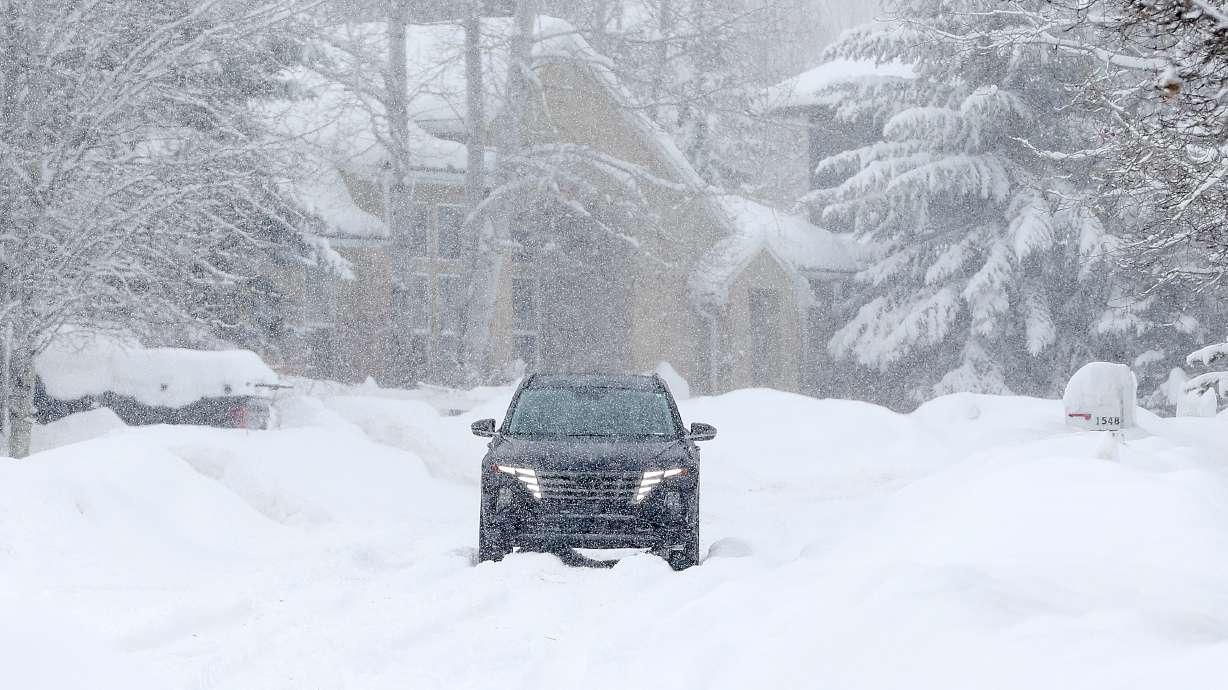
SALT LAKE CITY — Snow is back in Utah's forecast as an active winter pattern over the past few weeks could be slowing down for now.
The National Weather Service issued winter weather advisories for the mountains across northern, central and southern Utah, where 5 to 12 inches of snow are forecast to fall by the end of Thursday. Higher totals are possible in areas close to upper Cottonwood canyons, as well as the Tushar Mountains and the Brian Head area, according to the agency.
KSL meteorologist Matt Johnson said a mix of rain and snow is forecast for the valleys across the state, as well, so some areas could see some accumulation. At most, it could provide a trace to 2 inches of snow in the northern Utah valleys.
"It's one of those storms where the snow line is right above the valley floor," he said. "It kind of teeters right above it, so we could very easily see a full snow event but right now (we're expecting) rain and snow."
The storm system is forecast to arrive early Thursday morning. The mix is forecast to linger in the northern Utah mountains into the afternoon while extending into communities in southern and central parts of the state.
In all, 0.20 to 0.40 inches of precipitation are forecast for the northern Utah valleys and 0.10 to 0.30 inches of precipitation are forecast for the southern Utah valleys, according to Johnson.
"(It's) not a big storm, but definitely something that will help," he said.
It may also cause some traffic issues, including during the morning commute along the Wasatch Front. Most of the valley snow concerns will be north of Ogden, especially by the Cache Valley and Utah-Idaho border, Utah Department of Transportation officials advised in a road weather alert.
UDOT adds that "most summits and upper canyon routes" will receive snow throughout the day. The agency urges drivers to use "moderate caution" while traveling along most of the impacted regions.
Traction laws will likely be enforced in places like the Cottonwood canyons.
The storm may also be the last before a break in wintry action after an active past few weeks. Mild and dry conditions are forecast for the weekend across the state and into the first half of next week, which could bring inversion haze back to the Wasatch Front. Johnson said it's unclear how strong any inversion would be, a factor in air quality concerns.
Utah's statewide snowpack has benefited from the wet pattern. The state has doubled its average snow water equivalent since Jan. 1, rising from 69% of the median average for the start of the calendar year to 102% for late January, per the Natural Resources Conservation Service.
A long-range forecast produced by the National Weather Service Climate Prediction Center indicates storms could pick back up in the second half of next week.
Full seven-day forecasts for areas across Utah can be found online, at the KSL Weather Center.


