Estimated read time: 2-3 minutes
- High-wind warnings were issued as wind gusts of up to 60 mph are possible on Wednesday.
- The system is expected to clear the latest Wasatch Front inversion and help improve air quality.
- Storms are expected to bring some rain and snow; snowpack remains below normal at 53%.
SALT LAKE CITY — The National Weather Service issued a series of high-wind warnings and wind advisories as a shift in patterns is expected to clear out the latest inversion and snap the state's latest dry stretch.
The warnings cover Utah's West Desert, while communities across the Wasatch Front, northern Utah and Uinta Basin are included in advisories. Gusts up to 55-60 mph are possible in those areas on Wednesday morning and afternoon. All of the alerts are set to expire at 5 p.m.
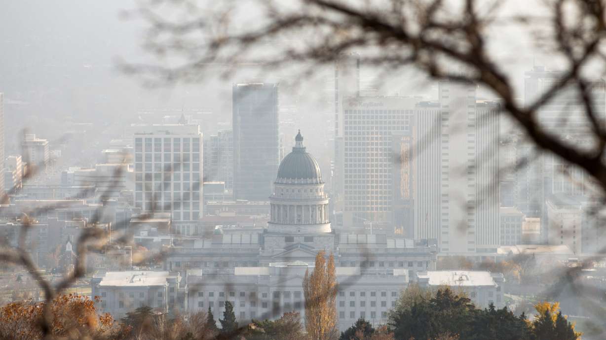
The stronger winds are part of a cold front passing through the region, which should improve an inversion that has built up over the past week, said KSL meteorologist Matt Johnson. Air quality levels have been "moderate" across the Wasatch Front with the latest lull in storm activity.
"If we get that wind down on the valley floor, it's going to sweep out all that nasty air," he said.
It's part of a shift in patterns made possible as a high-pressure ridge moves away from the Pacific Coast, allowing for storm activity back into Utah and other parts of the West that missed out on storms last week, he adds.
It'll start with a small low-pressure system arriving from California early Wednesday, passing through the Wasatch Front and northern Utah. Most of it will likely impact the higher elevations, with snow levels starting very high at about 8,500 feet.
Additional scattered showers are possible across the Wasatch Front and northern Utah later in the day as a cold front moves through the region. Additional valley rain and mountain snow are projected to arrive in the same areas on Thursday afternoon as part of a warm front, which may not produce too much precipitation, Johnson said.
None of the storms are expected to be massive, with the Wasatch Mountains potentially receiving 4 to 8 inches of snow by the end of Thursday, according to a National Weather Service model. There's a slight chance of higher totals, depending on various factors.
Parts of the Wasatch Back could receive some snow, but rain is more likely outside of the mountains. The series of storms could deliver 0.1 to 0.5 inches of precipitation across the Wasatch Front and northern Utah, with some odds for higher totals, per the weather service.
It's at least something as this year's snowpack collection season continues to be below normal. Utah's statewide snowpack has now fallen back to 53% of the median average for mid-December, which is near the lowest recorded for this time of year since the early 1980s.
Another round of valley rain and mountain snow is in the forecast for the weekend. Preliminary models suggest it could produce similar totals as the next few days or slightly higher mountain snow amounts.
Full seven-day forecasts for areas across Utah can be found online at the KSL Weather Center.


