Estimated read time: 4-5 minutes
This archived news story is available only for your personal, non-commercial use. Information in the story may be outdated or superseded by additional information. Reading or replaying the story in its archived form does not constitute a republication of the story.
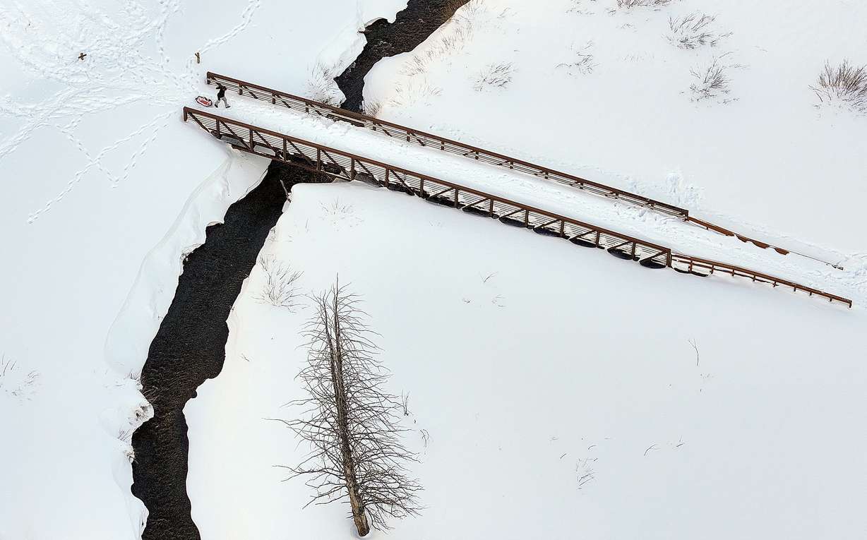
SALT LAKE CITY — Hayden Mahan acknowledges that Utah's snowpack was starting to look a bit "bleak" by New Year's Day; however, it's a different story now after a series of storms over the past two weeks.
While the recent storms have caused many travel headaches and raised avalanche danger, it's been huge for the state's ski resorts and it's helped Utah's snowpack get back on track after ending up with a first-half deficit.
The statewide snowpack average is now up to 7.1 inches of snow water equivalent, which is 99% of the median average for this point in the snow collection season, according to Natural Resources Conservation Service data. The snowpack had entered 2024 at just 69% of the average, but the statewide figure gained 3.1 inches over the past 13 days, nearly doubling the total from the first three months of the season.
"We needed (these storms) in order to catch us back up," said Mahan, a meteorologist for the National Weather Service.
Alta Ski Area, near the top of Little Cottonwood Canyon, received a little more than 7 feet of fresh snow over the past week alone, while most other resorts in the state received between 3 feet and 6 feet of snow over that span, the resorts report.
Snowpack is the amount of water within all of this snow, and the amount of water within the latest storms is a big reason why Utah's statewide total gained so much in so little time. The Alta-Atwater Natural Resources Conservation Service site gained 7 inches of snow water equivalent since Jan. 9 and 8.5 inches since New Year's Day.
Which basins are making the most gains?
All of Utah's primary snowpack basins were below normal for New Year's Day because of the slow start of the season, but that's no longer the case after the spike in snow over the past two weeks. A handful of basins received more snow water equivalent over the past two weeks than the first three months of the year.
As a result, five basins entered Wednesday with a median average of 100% or more for this point in the year, while another four are back to at least 90% of the median average. All but one basin entered Jan. 1 below 80% of the median average, but now only three basins are below 80%.
Here's how the primary basins stake up in order of highest percentage of median average to lowest:
- Weber-Ogden: 10.5 inches, up 4.6 inches since Jan. 1 (from 79% of the median average to 112%)
- Bear River: 9.2 inches, up 3.5 inches since Jan. 1 (from 83% of the median average to 111%)
- Provo-Utah Lake-Jordan: 9.2 inches, up 4.2 inches since Jan. 1 (69% of the median average to 102%)
- San Pitch: 6.8 inches, up 3.4 inches since Jan. 1 (59% of the median average to 100%)
- Price-San Rafael: 6.3 inches, up 3.3 inches since Jan. 1 (56% of the median average to 100%)
- Tooele Valley-Vernon Creek: 6.8 inches, up 3.1 inches since Jan. 1 (63% of the median average to 94%)
- Duchesne: 5.9 inches, up 2.9 inches since Jan. 1 (60% of the median average to 92%)
- Dirty Devil: 4.7 inches, up 2.5 inches since Jan. 1 (52% of the median average to 91%)
- Lower Sevier: 5.6 inches, up 2.6 inches since Jan. 1 (48% of the median average to 90%)
- Southeastern Utah: 4.1 inches, up 1.6 inches since Jan. 1 (60% of the median average to 85%)
- Northeast Uintas: 4 inches, up 1.4 inches since Jan. 1 (63% of the median average to 83%)
- Upper Sevier: 4.7 inches, up 2.3 inches since Jan. 1 (47% of the median average to 78%)
- Beaver: 5.4 inches, up 2.1 inches since Jan. 1 (51% of the median average to 76%)
- Escalante-Paria: 2.6 inches, up 1.5 inches since Jan. 1 (37% of the median average to 58%)
- Southwestern Utah: 2.9 inches, up 1.6 inches since Jan. 1 (33% of the median average to 54%)
Not over yet
The gains over the past two weeks are why KSL meteorologist Matt Johnson says Utah is in the middle of a "season-saving storm cycle." He adds the cycle is expected to continue with another round on Wednesday before more moisture this weekend, which is important because the season is far from over.
Utah's snowpack remains at 44% of the median peak with 78 days left before the average peak in early April, according to the Natural Resources Conservation Service. The National Weather Service's Climate Prediction Center lists Utah as having slightly greater odds of above-normal precipitation through the end of January, while there's no clear signal yet for above, below or near-normal precipitation in early February.
Climate experts say most of Utah's reservoirs will refill because of the water gained last year, but a normal year may dictate how much water larger lakes and reservoirs like Lake Powell or the Great Salt Lake gain this spring. The state's reservoirs, excluding Lake Powell and Flaming Gorge, are about 80% full already, 22.7% percentage points ahead of the median for this point in the year, per the Utah Division of Water Resources.
Contributing: Dan Rascon