Estimated read time: 4-5 minutes
This archived news story is available only for your personal, non-commercial use. Information in the story may be outdated or superseded by additional information. Reading or replaying the story in its archived form does not constitute a republication of the story.
SALT LAKE CITY — There's been plenty of research and news about the nexus between wildfires, extreme weather events and climate change.
But what about the integrity of dams and flood control basins scattered throughout Utah and the rest of the United States?
Sherry Hunt, a research leader and acting location coordinator at the U.S. Department of Agricultural Research Service's Agroclimate and Hydraulic Engineering Research Unit in Stillwater, Oklahoma, says experts are attempting to answer how extreme weather impacts this type of infrastructure, as many of the dams are 50 to 60 years old and vulnerable to problems.
"Changes in weather patterns are affecting the levels of the permanent pools in our reservoirs across the country, including those that were built under the USDA Upstream Flood Control Program," Hunt said. "We need the best information on how this is happening and what impact it is having."
Originally established in 1940 as a partnership between the research service and Oklahoma A&M College, which is now Oklahoma State University, the Agroclimate and Hydraulics Engineering Research Unit is the primary lab in the USDA system for developing improved dam structure design and providing information on how to maintain and rehabilitate aging water retention structures.
With Wednesday being deemed as National Dam Safety Awareness Day, the federal agency hopes its efforts will be a key component to ensuring the integrity of the water infrastructure and the safety of people who live downstream.
With nearly 12,000 USDA upstream flood control dams nationwide, two-thirds of which are past their original design life, Hunt believes the research provided by this facility is more important than ever.
"As our climate continues to change and we see more and more volatility in our weather, we potentially see more pressure on these structures. That makes the work we do that much more critical." Hunt said.

Dams in Utah
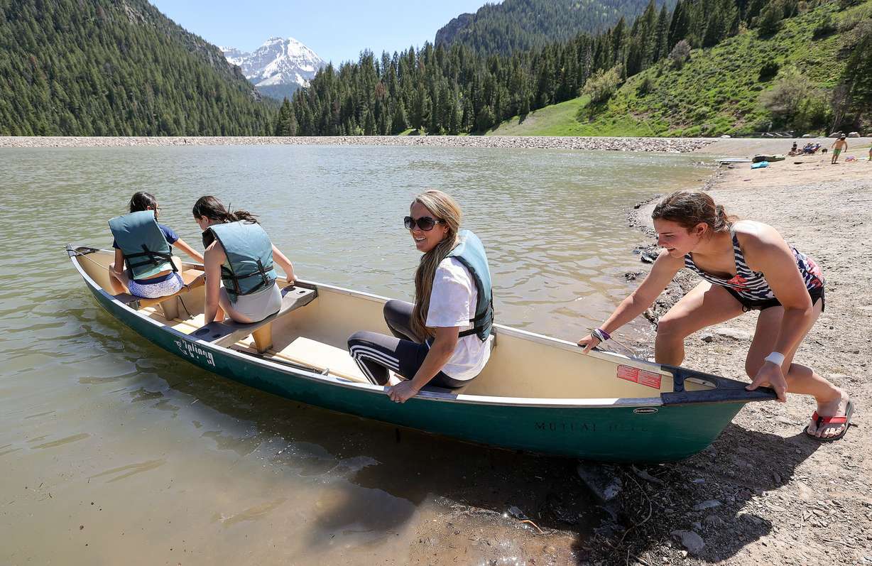
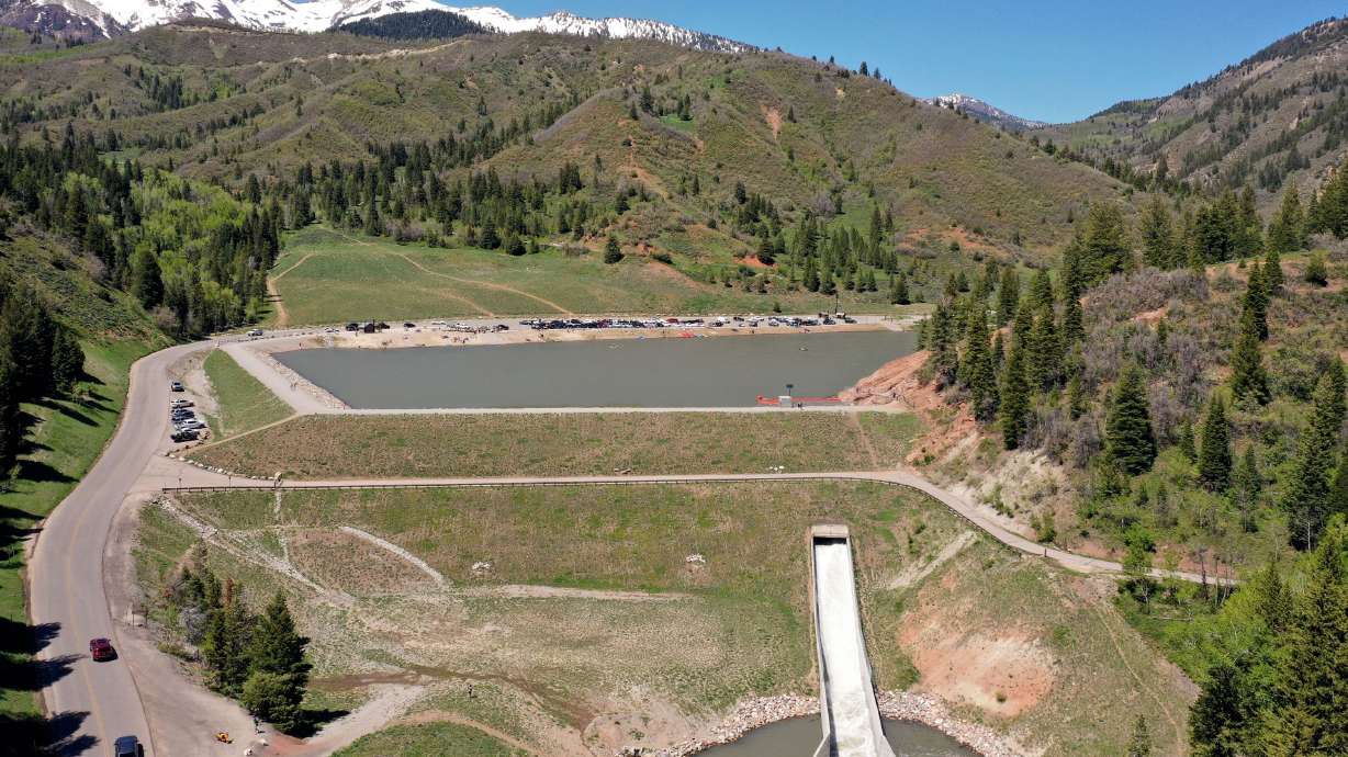
One such example in Utah is Tibble Fork Reservoir, a picturesque body of water in American Fork Canyon.
In an assessment performed in 2004, agencies determined the 50-year-old earthen dam did not meet federal or state safety regulations for a high hazard dam, which means there are vulnerable populations downstream should there be a failure.
That resulted in the start of a $7.3 million rehabilitation project which had unintended consequences of a sediment release in 2016 after crews began draining the 10-acre reservoir.
At the time of the release, both state wildlife officials and Trout Unlimited leaders said the sludge wiped out fish in a two-mile stretch of river at its north fork. The area is extremely popular among anglers for German brown and rainbow trout.
The Utah Department of Environmental Quality said elevated metal concentrations from historic mining activities were found in the reservoir's sediment, but have not typically been found in the water itself. Upstream mines include the Live Yankee, Globe, as well as a number of other abandoned gold and silver mines. Estimates of existing sediment volume in the reservoir was approximately 151 acre-feet.
Also in American Fork Canyon, the Silver Lake Flat Dam was identified for a rehabilitation project to keep the 1970s-era dam from crumbling apart.

Dramatic shifts
Over the years, the USDA's Natural Resources Conservation Service has built 45 dams in Utah with local partners such as water conservancy districts. The dams were built years ago and only designed for a 50-year life. Many of them have since been turned over to new operators.
In this latest research, one area of focus has been the development of small, affordable sensors such as meteorological stations and water quality and quantity monitors for installation in and around aging upstream flood control structures.
The stations would monitor conditions such as soil moisture levels, reservoir water levels, wind speed, rainfall, humidity and barometric pressure to provide more up-to-date and spatially dense data to partners and dam monitoring alert systems. These alert systems are designed to help improve dam safety and provide early warnings when a dam is in danger of overtopping or breaching, Hunt said.
"Right now, there are some great dam monitoring tools that are available to local watershed sponsors and their partners in state and federal government," Hunt said. "Unfortunately, most of these tools were designed with a 'static' pool of water in mind. This means that they may not have a full picture of what is happening in a reservoir when we see dramatic shifts from drought to heavy rain events."
She added that positioning small, affordable meteorological stations and water monitoring sensors in and around the structures, will give agencies a better idea of what is happening to the dams in real time, adding the data will provide information for new dam design and drive the next generation of dam research.
"The more information we have, the better job we can do in helping ensure that this critical infrastructure continues to provide protection from extreme flood events," she said.


