Estimated read time: 3-4 minutes
- A winter storm is causing blizzard conditions and dangerous wind chills in the Midwest.
- The storm has led to power outages affecting 350,000 customers and flight disruptions.
- Temperatures in the South are dropping sharply, ending record warmth seen after Christmas.
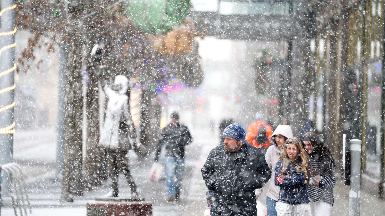
MINNEAPOLIS — A potent winter storm threatened blizzard-like conditions, treacherous travel and power outages in parts of the Upper Midwest as other areas of the country braced Monday for plunging temperatures, strong winds and a mix of snow, ice, and rain.
The snow and strengthening winds began spreading Sunday across the northern Plains, where the National Weather Service warned of whiteout conditions and possible blizzard conditions that could make travel impossible in some areas. Snowfall totals were expected to exceed a foot across parts of the upper Great Lakes and as much as double that along the south shore of Lake Superior.
"Part of the storm system is getting heavy snow, other parts of the storm along the cold front are getting higher winds and much colder temperatures as the front passes," said Bob Oravec, a lead forecaster at the National Weather Service office in College Park, Maryland. "They're all related to each other — different parts of the country will be receiving different effects from this storm."
About 350,000 customers were in the dark Monday morning, with about a third of those outages in Michigan, according to Poweroutage.us. There were more than 1,600 flight delays and more than 450 cancellations at U.S. airports on Monday, according to the flight tracking site FlightAware.
Blizzard conditions continued in some parts of northern Iowa on Monday morning, especially in open rural areas, according to the weather service's office in Des Moines. Blowing snow was expected to continue through the morning.
The National Weather Service warned of 1 to 3 feet of lake-effect snow from Monday through Thursday and high winds, with gusts up to 75 mph, in western New York on Monday. Similar conditions were expected along Lake Erie in Michigan and Ohio.
New York Gov. Kathy Hochul said in a social media post that travel in the Buffalo area could become dangerous beginning at 11 a.m. Monday because of potential whiteout conditions and urged people to avoid driving.
The very strong cold front meant parts of the central U.S. woke up Monday to temperatures up to 50 degrees F colder than a day earlier, according to the weather service's Weather Prediction Center. The cold front was accompanied by strong gusty winds.
The weather service warned of "dangerous wind chills" as low as minus 30 degrees Fahrenheit in North Dakota and into Minnesota from Sunday night into Monday.
In the South, meteorologists warned severe thunderstorms are likely to signal the arrival of a sharp cold front — bringing a sudden drop in temperatures and strong north winds that will abruptly end days of record warmth throughout that region.
The high temperature in Atlanta was around 72 F on Sunday, continuing a warming trend after climbing to 78 F to shatter the city's record high temperature for Christmas Eve, the National Weather Service said. Numerous other record high temperatures were seen across the South and Midwest on the days after Christmas.
But the incoming cold front was expected to bring rain to much of the South late Sunday night into Monday, and a significant drop in temperatures was expected on Tuesday. Forecasters said the low temperature in Atlanta would be 25 degrees by early Tuesday morning. The colder temperatures in the South are expected to persist through New Year's Day.
In Dallas, Sunday temperatures in the lower 80s could drop down to the mid-40s. In Little Rock, high temperatures of around 70 on Sunday could drop to mid-30s on Monday.
"We're definitely going back towards a more winter pattern," Oravec said.
The storm is expected to intensify as it moves east, drawing energy from a sharp clash between frigid air plunging south from Canada and unusually warm air that has lingered across the southern United States, according to the National Weather Service.


