Estimated read time: 3-4 minutes
This archived news story is available only for your personal, non-commercial use. Information in the story may be outdated or superseded by additional information. Reading or replaying the story in its archived form does not constitute a republication of the story.
Editor's note: This article has been updated to reflect that mountain biking is not allowed on some portions of this trail because it crosses into designated wilderness areas.THE GREAT OUTDOORS — The weather is warming up and the trails are beginning to dry. It’s time to dust off your hiking boots and get ready to explore this great state.
If you are looking for a gorgeous single-track trail shaded by lush green trees with a cool mist from a nearby river, consider heading north to Smithfield.
The Birch Canyon Road Trail, located in Smithfield, is a 7.5 mile out-and-back trail. With an elevation gain of 1,332 feet, the trail is considered a moderate difficulty level. It is ideal for hiking and trail running. It is important to note that portions of this trail cross into wilderness areas and bikes are not permitted on those portions of the trail.
Hikers can find the trail by heading north through Logan on Highway 91 and proceeding into Smithfield. Turn right (eastbound) onto 200 North, take a right on 350 East, then a left onto Canyon Road, and then make a right on 6100 North.
You can park on Canyon Road (a paved road) and then proceed to turn onto 6100 North which is the dirt road where you can begin your hike. The trail begins on a dirt road and after about 2 miles, it turns into a single-track trail. Hikers will cross a river several times throughout the hike so consider wearing shoes that can get wet.
While on the dirt road, hikers will pass through several gates. This dirt road is considered private property until all three gates have been passed through so hikers should not park on this road. The beginning of the trail is out in the open, but becomes more woodsy and is canopied with trees as you reach the single track.
Related Stories:
After hikers reach the top, they may proceed down the single track or follow the dirt road back down, which gives two options for the downhill walk or run. Trail runners will enjoy minimal rocks on the path and the gradual climb.
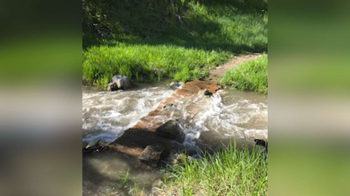
The hike is considered kid friendly, but keep in mind that the water level is high right now so extra caution should be given if you are taking children on the hike. Water was flowing over one of the bridges when I did the hike. I was still able to cross it walking on boulders, but do so with careful discretion or wait until the water levels decrease. It is never advised to cross rivers with fast-moving water.


