Estimated read time: 2-3 minutes
This archived news story is available only for your personal, non-commercial use. Information in the story may be outdated or superseded by additional information. Reading or replaying the story in its archived form does not constitute a republication of the story.
SALT LAKE CITY — The snow storm people have been aching for to break the long dry spell finally graced the Wasatch Front this weekend, especially making an appearance in Davis County where bench locations received a half foot of powder.
That snow accumulation dwarfs even high elevations such as Snowbasin's mid-bowl, which only received 4 inches, as did Alta and Snowbird by Saturday morning.
Whatever the amount, it was widely welcomed by enthusiasts who reveled in the outdoors by sledding, skiing or even by indulging in a good old-fashioned snowball fight.
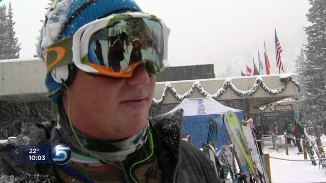
"It's still really icy underneath, but it's nice to have some fresh snow on top, so it's getting better," said Eric Nelson, who headed up to Snowbird Ski Resort Saturday afternoon.
The ski resort welcomed the fresh powder as well.
"Winter is finally here at Snowbird," said the resort's Communications Manager Emily Moench. "It's so exciting. The anticipation has been building up and building up and finally this morning, it came."
Snowbird got 5 inches of snow this morning. It's expecting up to 9 inches more by Saturday night. Last year, Snowbird got a record-breaking 800 inches of snow.
While motorists had to endure slick roads Saturday on their travels, police reported only minor mishaps on Utah's roadways, and snow plows were in full force laying down sand.
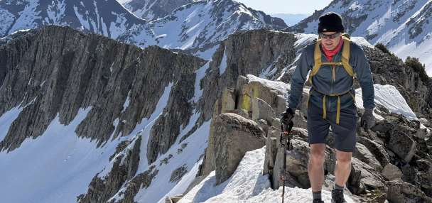
The more treacherous danger accompanying the new snowfall is in Utah's back country, where forecasters say there is high avalanche danger. Recreation in the back country is not recommended, as the heavy snowfall on top of a weak snowpack has created perilous conditions.
The National Weather Service in Salt Lake City says colder air moving across the Great Salt Lake will bring "lake enhanced" snow across portions of northern Utah Saturday afternoon, with additional accumulations possible.
The weekend storm follows the driest December on record logged at the Salt Lake International Airport, besting a previous dry bout set in 1976.
While this season's snowpack is well below average, water managers have not yet begun to get overly concerned because of the high reservoir storage leftover from the previous water year.
Written byAmy Joi O'Donaghue and Sandra Yi.