Estimated read time: 5-6 minutes
This archived news story is available only for your personal, non-commercial use. Information in the story may be outdated or superseded by additional information. Reading or replaying the story in its archived form does not constitute a republication of the story.
SALT LAKE CITY — A storm system that passed through Utah on Tuesday provided a decent splash of water across the state, but it's about to make for some weird weather, too.
The National Weather Service issued a series of various weather alerts, including winter storm warnings, winter weather advisories and high wind warnings, as the cold front is expected to veer off to the southwest.
Productive precipitation
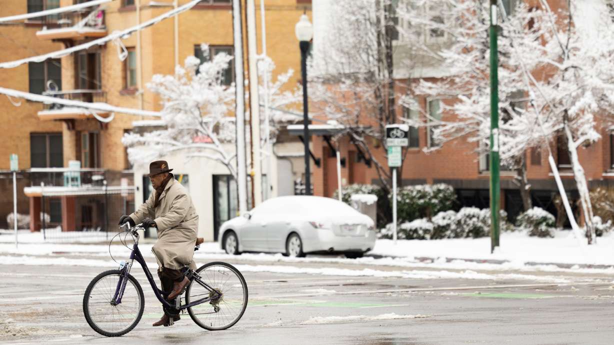
The storm brought rain, sleet, graupel and snow Tuesday, while unsettled conditions brought additional lake effect snow Wednesday morning. Saratoga Springs received more than 0.84 inches of precipitation by late Wednesday morning, but many places near Salt Lake City and south of it received at least a quarter-inch of precipitation.
"A nice line of showers really crashed through," said KSL meteorologist Matt Johnson.
It also gave the mountains a snowpack boost. Utah's statewide snowpack is also up to 16.2 inches of snow water equivalent, exceeding the median for the entire collection season.
Heavy snow for some
A low-pressure system behind Tuesday's precipitation is moving across Utah on Wednesday; however, it is forecast to shift course by late Wednesday or early Thursday as it moves through the state, veering to the southwest toward Las Vegas.
This is referred to as a "cutoff low," a system that moves independently from the traditional westerly current. Johnson explains these are more common in the West during late winter and early spring.
The various alerts are tied to different impacts expected as the low-pressure system moves toward the southwest. It'll bring precipitation from the south to parts of southern Utah, primarily on Thursday and Friday.
A winter storm warning was issued for the southern, central, Abajo, and La Sal mountain ranges. It states accumulations of 10 to 20 inches are possible by Saturday morning in southeast Utah's mountains, while 6 to 16 inches of snow is possible for most parts of the central and southern Utah ranges. Some places could end up with much higher totals.
All of the snow is in addition to any snow collected Tuesday and Wednesday. Wind gusts of 40-45 mph are possible within these places, too.
Places like Bryce Canyon and Capitol Reef national parks — and towns around them — are also included in the warning. Anywhere from 4 to 12 inches of snow is possible in areas closer to Capitol Reef, while 6 to 10 inches is forecast for areas closer to Bryce Canyon.
A winter weather advisory is in place for places like Escalante and Kanab, where 2 to 4 inches of snow is possible.
Some of the lowest-elevation areas in the region could up with rain. The wide range in the snow total projections is tied to what the snow line — the line where rain turns to snow — will be. That is now trending "somewhat colder," the weather service writes. Higher snow totals are possible if the snow line is in a lower elevation.
"A sharp gradient in snow accumulations is expected around or just west of Capitol Reef along (state Route 24) with much greater totals at slightly higher elevations," the alert states.
❄Snow Threat:
— NWS Salt Lake City (@NWSSaltLakeCity) March 13, 2024
This system will also produce plentiful snowfall across southeastern Utah Thursday through Saturday.
Here's a look at the "worst case" and "best case" scenarios. #utwxpic.twitter.com/jtiu4pmVKb
It may end up being one of, if not the largest storm of the season for southeast Utah because of how the storm is moving and how the region is typically cut off from storms that end up in the state, Johnson said.
"A lot of those south-central towns lie on the eastward (and) dry side of the Utah mountains that run through the middle of Utah, so it's really hard for them to get the right flow for them to perform," he said. "The way that this storm is positioned, you're going to get some wrap-around, some flow for these cities."
Strong winds for others
It's a different story for the Wasatch Front and northern Utah.
The storm isn't expected to produce much precipitation, but the easterly flow throughout the region will likely cause strong downslope winds. Widespread wind gusts up to 60 mph or more are expected for the Salt Lake Valley and northern Utah between Thursday morning and noon Friday, according to the weather service's high wind warning.
Here is a model run for wind gusts from Thursday afternoon through Friday morning. Maximum gusts could be higher than these hour-by-hour numbers. Peak wind gusts will be Thursday night into Friday. #utwxpic.twitter.com/x735FHZR48
— NWS Salt Lake City (@NWSSaltLakeCity) March 14, 2024
The strongest gusts are expected in the region's "wind tunnel." There's a chance that gusts reach 70-85 mph or more from Kaysville to Bountiful.
A wind advisory has been issued for other areas, including the northern Wasatch Mountains, Wasatch Back, central Utah and the West Desert. It states that gusts of 45-55 mph are forecast for most of these areas, but gusts could reach up to 65 mph in the mountains.
Rocky Mountain Power officials said they are monitoring the storm, which they say could cause "weather-related outages." They remind customers to report outages and avoid downed powerlines.
"Travel will be difficult due to crosswinds, especially for high-profile vehicles and vehicles with trailers, especially on I-15 and U.S. 89, and areas along and east of U.S. 91 in Cache Valley," it adds.
Utah Department of Transportation officials said high-profile vehicle restrictions could be enacted on I-15 and Legacy Parkway between Bountiful and Kaysville and areas near Brigham City beginning on Thursday.
Johnson said the winds will begin to die down by Friday as a high-pressure system builds back in the state. That will also create warmer and drier conditions for this weekend. The warning adds that strong winds can move loose debris and damage property.
Full seven-day forecasts for areas across Utah can be found online, at the KSL Weather Center.
Weather the storm:


