Estimated read time: 3-4 minutes
This archived news story is available only for your personal, non-commercial use. Information in the story may be outdated or superseded by additional information. Reading or replaying the story in its archived form does not constitute a republication of the story.
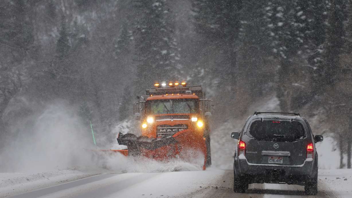
SALT LAKE CITY — A second wave of snow, including another snow squall, arrived in Utah Wednesday afternoon, causing major traffic delays and dozens of crashes in areas of northern Utah throughout the evening commute.
Schools in Juab and Iron counties on Thursday announced a delayed start, with schools in both counties starting two hours later than usual.
"School start times and transportation schedules will run two hours later than normal," the Iron County School District said in an update. "Morning preschool is canceled. ... The school day will end at the regular time."
The Utah Highway Patrol responded to 156 crashes Wednesday and 25 as of 6 a.m. Thursday. No serious injuries have been reported. Troopers urged drivers to avoid travel "if possible," or to plan for long commutes.
KSL meteorologist Kevin Eubank said the storm will move south of Salt Lake Wednesday night, "putting an end to the intense snow," and the state may see scattered snow showers Thursday that aren't expected to accumulate.
The National Weather Service issued a snow squall warning for parts of Box Elder and Weber counties Wednesday afternoon. The service's meteorologists warned on social media that the storm would move into central and southern Utah overnight, "bringing the potential for difficult travel to those locations as well."
SNOW SQUALL TIMING UPDATE: our cold front is moving through the Wasatch Front a bit faster than previously forecast. Here is our latest forecast for anticipated timing across Utah and SW Wyoming. Remember that travel conditions will quickly deteriorate with the squall! pic.twitter.com/kkEPgaEMTs
— NWS Salt Lake City (@NWSSaltLakeCity) January 10, 2024
Additional snow squall alerts are likely as the band moves south. The weather service advised that it is moving faster than originally forecast, so the timing of the squalls is different than originally forecast.
Cold temperatures prompted counties across Utah to issue a "code blue" alert, meant to help open more beds for homeless community members while temperatures reach 15 degrees or lower.
This year's first larger storm prompted warnings about travel preparedness from public safety agencies across the state. In Ephraim, police took to social media with a startling photo to remind people to clear their windshields of snow before driving. The photo showed a vehicle covered in snow, that had "caused property damage" due to not being cleared.
"Please be aware that operating a vehicle with frost and/or snow blocking the driver's view is against the law and may result in enforcement action. Allocate a few additional minutes before your morning commute to prioritize clearing your windshield for optimal visibility," Ephraim police said.
For at least the third time this week, Mountain View Corridor was closed in Saratoga Springs, at Harvest Hills Boulevard to Redwood Road in both directions, Wednesday evening. That area also saw a shutdown after some drivers became stuck in the snow late Tuesday due to limited visibility and drifts, and on Sunday, with 40 slide-offs and crashes forcing the highway's closure.
Road Weather Alert: Another winter storm is expected to bring road snow to much of the state, with snow squalls possible in Northern Utah. For more information, please visit: https://t.co/QrWh3RKePZ… #utsnow#utwx@UtahTruckingpic.twitter.com/OpFV4H8IVE
— UDOT Traffic (@UDOTTRAFFIC) January 10, 2024
Troopers responded to 101 crashes on Tuesday after the first round of snow caused all sorts of problems across Utah's northern half.
Provo school officials had "concerns about potential road conditions in the morning," though the school day continued as normal and let out at normal times. The district's half-day kindergarten, preschool and other midday and after-school programs were canceled for the day.
A quick burst of wind from a fast-moving snow squall also toppled some trees, according to photos sent to KSL.
More snow is expected to close out the week. In fact, snow is in the forecast for Friday, Saturday and Sunday as the active winter pattern continues. KSL meteorologist Matt Johnson says the Wasatch Mountains may end up with 4 feet to 6 feet of new snow by the start of next week from all of these storms, while snow in the valleys during those days may cause more transportation headaches.
Full seven-day forecasts for areas across Utah can be found online, at the KSL Weather Center.


