Estimated read time: 3-4 minutes
This archived news story is available only for your personal, non-commercial use. Information in the story may be outdated or superseded by additional information. Reading or replaying the story in its archived form does not constitute a republication of the story.
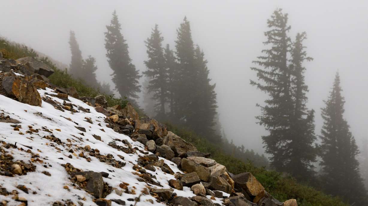
SALT LAKE CITY — Those thinking about heading to Utah's mountains to check out the incredible fall foliage Sunday may want to bring at least a rain jacket, if not a coat, as Utah's new water year is forecast to begin with some measurable snow.
A massive storm system currently located in the Pacific Northwest is moving south into California. KSL meteorologist Matt Johnson said the system will "eventually turn the corner" and move into Utah this weekend, bringing much cooler temperatures, valley rain and some mountain snow that will linger into the start of next week.
While there may be some scattered showers in the mountains Saturday afternoon, Johnson said changes will begin with windy conditions ahead of the cold front along with more clouds.
The National Weather Service on Friday issued a wind advisory for the Tooele and Rush valleys, as well as western parts of central and southern Utah from Delta to Cedar City. The advisory, which remains in effect from 11 a.m. until 9 p.m. Saturday, says southern winds of 20 to 30 mph are projected, with gusts up to 50 mph in the area.
"Use extra caution when driving, especially if operating a high-profile vehicle," it states, adding that people should secure objects outdoors, as well.
The brunt of the precipitation is expected to begin late Saturday night into early Sunday morning, affecting communities across the state. Widespread showers and some thunderstorms are possible across the state's western half Sunday morning.
"It looks like it could break up a little bit (Sunday afternoon), but it comes back for your Monday," he said, noting that snow levels are expected to drop to about 8,000 to 8,500 feet. "This thing will come with ebbs and flows."
The storm has the potential to deliver close to a half-inch of precipitation or more along the Wasatch Front and central Utah.
A National Weather Service model, updated Friday, projects that up to 9 inches of snow are possible near Kings Peak in the West Uintas between Saturday afternoon and early Tuesday. About 3 to 5 inches of snow are projected to accumulate along the Mirror Lake Highway in the same region, the agency added on social media.
9/29 - Snow this weekend? Well if you're venturing above 9,000 feet expect to find some. Here's a look at when snow is forecast to accumulate. Of note, the Mirror Lake Highway is expected to see between 3 to 5 inches through Monday. #UTwxpic.twitter.com/4Q2fHRKdN8
— NWS Salt Lake City (@NWSSaltLakeCity) September 29, 2023
Snow is also possible — if not likely — in mountain areas all the way down to southern Utah. The model projects resorts like Alta and Snowbird in Little Cottonwood Canyon, as well as Brian Head in Iron County, could end up with an inch or two of snow by the time the storm clears out.
It follows a pair of storms that produced some mountain snow earlier this month.
While snow is not forecast for the Wasatch Front valleys, high temperatures are expected to drop from the low 80s Friday and Saturday to the mid-to-low 60s on Sunday, Monday and Tuesday before returning to the 70s by Thursday as a high-pressure system returns to the Beehive State.
High temperatures in St. George are forecast to drop from the upper 80s on Friday to the low 70s Sunday and Monday before returning back into the 80s on Thursday.
Full seven-day forecasts for areas across Utah can be found online at the KSL Weather Center.
The storm comes as Utah's prolific 2023 water year, featuring a record-breaking snowpack, comes to an end on Saturday. Utah entered September on pace for its 17th-wettest water year on record, according to the National Centers for Environmental Information. It will release its September climate report on Oct. 10.
The Natural Resources Conservation Service, which tracks mountain precipitation, listed Utah as having an average of 39.7 inches of precipitation at its mountain sites. That's 4.8 inches below the record, but 136% of the median.
St. George already broke its record for a water year among individual communities. Salt Lake City entered Friday at 18.09 inches of precipitation, which would make the 2023 water year its 39th-wettest since 1875 if it doesn't receive any additional rain by the end of Saturday.


