Estimated read time: 2-3 minutes
This archived news story is available only for your personal, non-commercial use. Information in the story may be outdated or superseded by additional information. Reading or replaying the story in its archived form does not constitute a republication of the story.
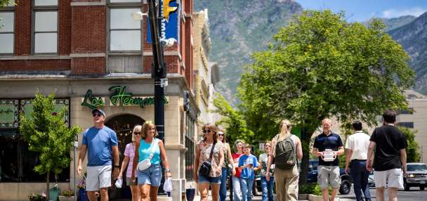
SALT LAKE CITY — A team of volunteers and scientists will find and measure the hottest neighborhoods in Salt Lake City Saturday.
The group will participate in the National Oceanic and Atmospheric Administration's urban heat island mapping campaign. Rowland Hall science teacher Rob Wilson is a lead volunteer in the effort.
"A team of volunteers will drive 10 routes at three different times of day," Wilson said.
He called the work important because heat is the leading weather-related cause of death in the U.S.
"People get to participate with a study about their own city and to do something about, what I would say is one of the major events in our city, which are heat waves, and they've been bad in recent years, and we can only expect they'll get worse," Wilson said.
The volunteers will find high temperatures. On Thursday the National Weather Service issued an excessive heat watch for areas along the Wasatch Front, Tooele and Rush valleys, and the West Desert. That will take effect Sunday afternoon and remain in place through Monday evening.
The citizen scientists will use sensors and satellites attached to cars to identify urban heat islands around Salt Lake City.
"They're going to attach a sensor to their car and the sensor connects to satellites," Wilson said. "It transmits the time and location, the air temperature and humidity."
Related:

Warnings, advisories issued as 'blazing hot' temperatures make it to Utah
The National Weather Service on Thursday updated an excessive heat warning to include areas along the Wasatch Front, as well as the Tooele and Rush valleys and the West Desert. That's on top of parts of southwest and south-central Utah that were already included.The team will record their findings in every neighborhood of Salt Lake City. They expect to find many urban heat islands on the west side.
"The area that's covered by tree shade is most dense on the east side and less dense out here," Wilson explained.
With less shade, more direct sunlight and heat-trapping surfaces, the more dangerous heat becomes.
"Prolonged heat is very stressful to the human body and the reason it becomes lethal is because in a heat wave, where it's chronic over many days at a time, the body doesn't have the chance to rest from the heat," he said. "It's always resisting it."
The group hopes by identifying the hotspots, they can keep people healthier and give those areas more ideas or resources to stay safe.
"We're interested in evaluating what the underserved neighborhoods are experiencing and then figure out what can we do to improve that," Wilson said.
The heat mapping takes place Saturday from 6 a.m. to 9 p.m. They'll be driving slowly around the city while they collect data.