Estimated read time: 5-6 minutes
This archived news story is available only for your personal, non-commercial use. Information in the story may be outdated or superseded by additional information. Reading or replaying the story in its archived form does not constitute a republication of the story.
SALT LAKE CITY — Thursday marks the beginning of meteorological summer, and there's still plenty of snow left to melt — a lot more than usual at this point of the year — at least in some parts of Utah.
It's why some local officials are still preaching caution by creeks, streams and rivers for the next few weeks and months, even as the risk of flood-related property damage is slowly subsiding.
Statewide, there are still 3.2 inches of snow water equivalent left to melt, according to the Natural Resources Conservation Service data updated Thursday morning. While that's only a little more than one-tenth of this year's peak of 30 inches on April 8, it's about 3½ times the normal for June 1, and where the snowpack was at the same point last year.
What has melted so far has also helped Utah's reservoir system reach 77% of capacity by Thursday, according to the Utah Division of Water Resources. It's now close to 4 percentage points above the median for June 1.
Almost all of what's left to melt now are in areas of elevations above about 9,000 feet, says Glen Merrill, meteorologist and hydrologist for the National Weather Service.
"It's our highest elevation watersheds that are still holding onto significant snow for this time of year," he said.
Most of the central and southern Utah snowpack basins are either completely melted or virtually melted right now. The Beaver and Upper Sevier basins are the exceptions, which currently hold an average of 9.7 inches and 2.6 inches of water, respectively. The Beaver snowpack basin's median June 1 average is 4.2 inches.
As for the northern half of the state, nearly all of its basins also hold snowpack levels that are well above normal for the start of meteorological summer:
- Weber-Ogden: 5.2 inches (nearly 10½ times its normal)
- Provo-Utah Lake-Jordan: 5.1 inches (more than 4½ times its normal)
- Bear: 4.9 inches (more than 2½ times its normal)
- Duchesne: 3.9 inches (more than twice its normal)
- Northeastern Uintas: 0.8 inches (slightly above its normal)
But those averages also take into account snowpack areas below 9,000 feet. Most high-level sites still have levels well above their current snowpack basin averages. For example, Snowbird still has 33.5 inches of snowpack left to melt into Little Cottonwood Canyon. That's about twice its normal for the beginning of meteorological summer — though nowhere near its record of 75.1 inches set in 2011.
Why flood risks are starting to fade
All of this snow left to melt is expected to keep the region's waterways flowing at above-normal rates over the foreseeable future. That's why Salt Lake County and Salt Lake City officials are still urging people who are recreating to avoid many of the region's waterways as a safety precaution.
"Things are better as our teams look at managing what we thought could be a frightening situation," said Salt Lake County Mayor Jenny Wilson. "But water's running high, and we're really urging people to remember that and be safe."
Some of the flood risk is dissipating, though. Salt Lake City Mayor Erin Mendenhall says that Emigration and Red Butte creeks have each peaked and will begin to wind down in flood risk. City and Parleys creeks are near their peaks but within what she calls "manageable levels."
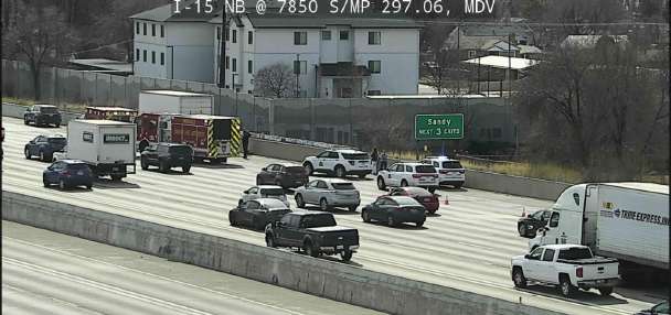
Emigration Creek caused the only real major flooding concern in the city this year, as a large piece of metal clogged a culvert and resulted in a voluntary evacuation of about 40 homes near the creek back in April.
Big Cottonwood Creek is expected to reach its peak streamflow next week, and Little Cottonwood Creek is expected to peak the week after that, according to Wilson. Sandy issued a state of emergency on Wednesday so it could prepare for any possible damage because of this and other streams fueled by high-elevation snowmelt. That said, Wilson said that county officials believe both of the larger creeks are "under control" at the moment.
This is going to go on through mid-summer. There was a lot of snowpack, and it's coming out of the groundwater now — shallow aquifers — so it's going to continue to flow high for a while.
–Jesse Stewart, Salt Lake City Public Utilities
In addition to all the flood preparations this winter and spring, the weather in May is a big reason that most of the severe flooding concerns haven't come to fruition. While Salt Lake City broke its May temperature record, the region's consistent mix of warm but not overly hot temperatures, afternoon cloud cover and cool nights helped melt the snow at a more manageable rate, Merrill explained.
"It's really maintained that consistency on a day-to-day basis to really melt the snow in a consistent manner and spread it out over time," he said. "We're seeing these really high volumes, these really very high flows being maintained for a long period of time."
Keeping safe this summer
Safety near water is now considered a bigger concern than property damage in Salt Lake County because of the above-normal streamflows that could last into July. Both Wilson and Mendenhall explained that it's easy for someone or something to be swept away in the water.
That's especially true with children and pets.
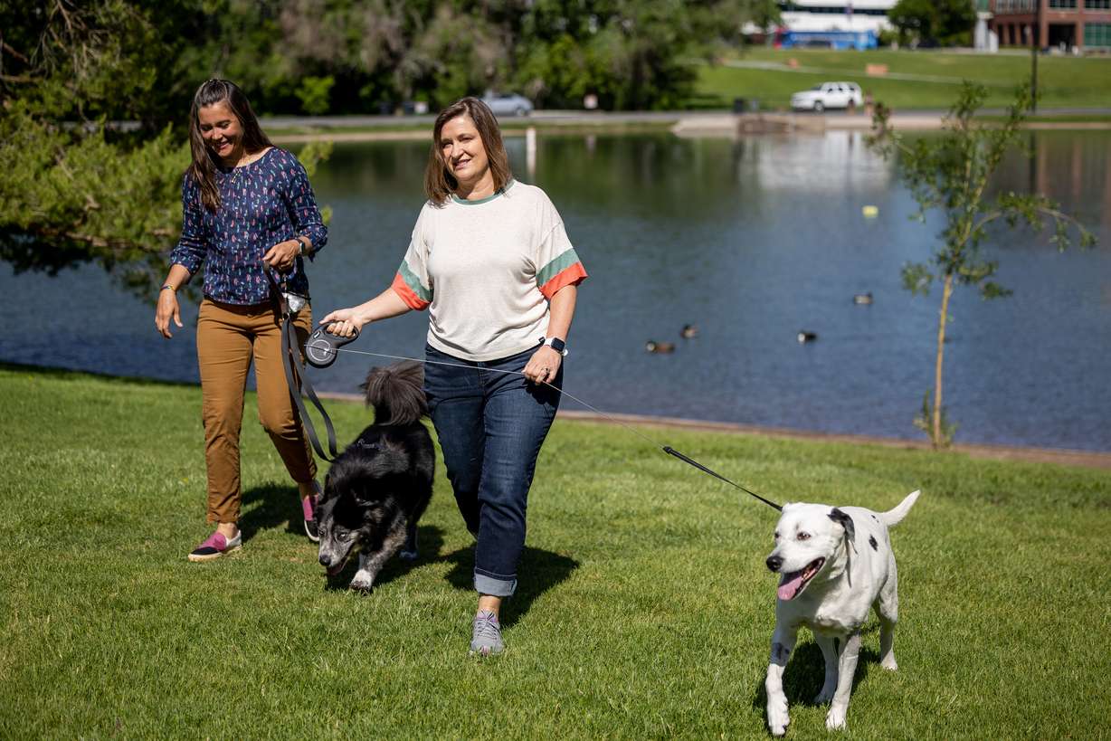
There have been multiple cases of pets swept away by high water levels this year, which is why both mayors brought their dogs to remind people to keep their pets on leashes near high-flowing water. Mendenhall said this is a bigger issue for Salt Lake City residents, who tend to have more dogs than children.
"It is not safe right now," she said. "No matter how much you think your dog can come to you when you call them, those waters are swift and powerful, and it's absolutely not worth the risk of losing your pet like some sad families have had to deal with this season."
Jesse Stewart, deputy director of Salt Lake City Public Utilities, adds that even though many creeks are starting to peak or already have, they are flowing well above normal and well above where they were last year.
All three advise that people avoid most waterways until the water subsides.
"(The water) is moving swift, high and it's still really cold," he said. "This is going to go on through mid-summer. There was a lot of snowpack and it's coming out of the groundwater now — shallow aquifers — so it's going to continue to flow high for a while."