Estimated read time: 4-5 minutes
This archived news story is available only for your personal, non-commercial use. Information in the story may be outdated or superseded by additional information. Reading or replaying the story in its archived form does not constitute a republication of the story.
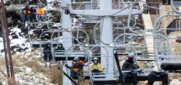
SALT LAKE CITY — Utah's natural resources director says the state is still prone to additional flooding and landslides as the remaining snowpack continues to come down from the mountains, adding that he supports the idea of extending the emergency declaration Gov. Spencer Cox issued last month.
"We've got a long way to go," said Joel Ferry, director of the Utah Department of Natural Resources, as he provided a water supply update during a legislative water development commission meeting Tuesday afternoon. "Flood risk is still a significant concern and so the department ... would ask the Legislature to extend the emergency declaration to help us get through."
Flooding has already impacted different parts of the state since April, resulting in an unknown damage estimate. Though more than half of Utah's record statewide snowpack has already melted, dropping to 12.6 inches of snow water equivalent, as of Tuesday afternoon, Ferry reiterated that there's still more snow in the statewide snowpack than at any point last year.
There's also a wide disparity between where snow has and hasn't melted from the state's mountains, which is why some parts of the state are at a higher risk of flooding than others.
For example, there is nothing left to melt at Gardner Peak near Hurricane in Washington County, but there are still 63 inches of snow water equivalent left at the Snowbird site in Little Cottonwood Canyon in Salt Lake County. The latter has dropped more than 5 inches over the past week as the site starts to melt in earnest for the first time this spring.
"What we've seen so far is the low and mid-elevations are going off, and, finally, high elevations — those areas above 9,000 feet — are just starting to melt now," Ferry said. "There's a lot of snow up there and that's why we think we'll see peak runoff in the majority of the higher watersheds occurring here in the next two weeks. ... It's crazy how much water is coming down."
Communities across the northern half of the state are again bracing for potential flooding, especially as high temperatures are currently forecast to remain in the 80s across the Wasatch Front into next week.
Holladay issued a state of emergency over flooding concerns hours before Ferry's presentation, and the National Weather Service issued more flood watches across many parts of northern and northeast Utah as the commission met. That's on top of the already active flood warnings and advisories that had already been issued.
"The next two to three weeks, with these kinds of temperatures, a lot of water is going to be melting quickly," said KSL meteorologist Kevin Eubank.
Cox issued a statewide emergency declaration on April 18, noting that the state had already blown past the $5 million the Legislature had set aside for emergency management flood mitigation during this year's legislative session. It's set to expire this week unless the Utah Legislature extends the order.
The Legislature is meeting Wednesday to discuss flooding issues and the reallocation of funds for flooding mitigation during a special session that the governor requested earlier this month.
Flooding isn't the only risk right now. Utah's soil saturation levels are quickly rising, reaching a record 83.4% on Tuesday, according to Natural Resources Conservation Service data.
That means Utah will continue to be "prone" to landslides, Ferry warns. There have already been a few examples of this over the past few weeks, including multiple mudslides in Little Cottonwood Canyon and two homes that were destroyed by shifting land in Draper.
The high soil saturation levels also mean more snowmelt should end up in the state's creeks, streams and rivers, which could add to the flooding concerns, but also means that more water will end up in the reservoirs, which is the good news after years of drought.
Utah's reservoirs are already quickly refilling after falling to 42% capacity in November. The statewide system is now up to 66% capacity and could be higher if water managers weren't conducting controlled releases to avoid flooding concerns. Most of the state's reservoirs are projected to return to full capacity, minus the largest reservoirs in the system, Ferry said.
"When this runoff does occur, it's all going to go to our rivers," he said. "This is really good. This helps recharge our aquifers, our groundwater ... but we have to be very careful."