Estimated read time: 4-5 minutes
This archived news story is available only for your personal, non-commercial use. Information in the story may be outdated or superseded by additional information. Reading or replaying the story in its archived form does not constitute a republication of the story.
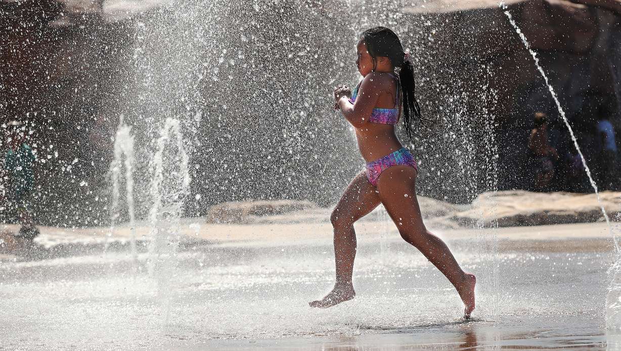
SALT LAKE CITY — Get ready for the heat.
The National Weather Service on Thursday extended excessive heat warnings across Utah as several cities and towns across the state are expected to break high-temperature records Thursday and Friday.
The weather service's first excessive heat warning was issued for the southern portion of Washington County and the Lake Powell area, also in southern Utah. It includes the communities of Big Water, Bullfrog, Hurricane, Ivans and St. George. It goes into effect noon Thursday and remains in effect to 10 p.m. Saturday.
Update: Excessive Heat Warning expanded to the Wasatch Front and West Dessert. Hot today, even hotter on Friday, followed by a very warm night Friday night will make heat related illnesses more likely. Check https://t.co/syF1KTUKUc for details on staying safe in the heat. #utwxpic.twitter.com/Vl4QFWzPLd
— NWS Salt Lake City (@NWSSaltLakeCity) June 3, 2021
A second excessive heat warning was issued for most of the Wasatch Front and also Utah's West Desert, including the communities of Bountiful, Dugway, Lehi, Ogden, Park Valley, Payson, Provo, Salt Lake City, Sandy, Wendover and West Jordan. It goes into effect from Friday at noon and will last until 6 a.m. Saturday.
Multiple heat advisories were also issued Thursday for some parts of northern, central and eastern Utah that will go into effect Friday at noon. The advisories include the communities of Brigham City, Duchesne, Ephraim, Grantsville, Manti, Mt. Pleasant, Richfield, Roosevelt, Salina, Snowville, Tooele and Vernon.
You can blame the usual suspect for the early heat: a high-pressure system forming over the state, which will keep most clouds at bay and "keep us hot" throughout the remainder of the week, said KSL meteorologist Grant Weyman.
"It stays hot through the upcoming weekend (and) early next week, no major change," he said.
The heat started creeping into the Wasatch Front on Tuesday, when temperatures topped out at 88 degrees at the Salt Lake City International Airport. Temperatures reached the low 90s on Wednesday, as well. The weather service forecast projected temperatures to reach 97 degrees on Thursday and 100 degrees on Friday before falling back down into the mid- to low 90s.

If the Thursday and Friday forecasts come to fruition, the temperatures would break the current daily records of 94 degrees and 98 degrees. Salt Lake City's normal high for early June is 78 degrees, according to the weather service.
Should Salt Lake City reach 100 degrees Thursday or Friday, either date would break the record for the earliest 100-degree day in a year set all the way back on June 5, 2020. Prior to last year, the record was June 7, 1985. June 9, 1973; June 10, 1918; and June 10, 2013, round out the five earliest 100-degree dates in the city's 147-year-old weather record book.
Weyman pointed out that Salt Lake City does average one 100-degree day every June, and nine 90-degree days, but the higher temperatures are usually reserved for the final days of June.
Salt Lake City isn't expected to be alone breaking records this week. The weather service listed at least nine other communities in Utah that could come close to or break daily high-temperature records both Thursday and Friday. Those are:
- Alta: 77 degrees on Thursday and 81 degrees on Friday (Current records are 75 degrees for June 3 and 76 degrees for June 4)
- Brigham City: 97 degrees on Thursday and 99 degrees on Friday (Current records are 98 degrees for June 3 and 91 degrees for June 4)
- Bryce Canyon: 87 degrees on both Thursday and Friday (Current records are 83 degrees for June 3 and 82 degrees for June 4)
- Duchesne: 95 degrees on Thursday and 98 degrees on Friday (Current records are 90 degrees for June 3 and 91 degrees for June 4)
- Logan: 96 degrees on Thursday and 98 degrees on Friday (Current records are 89 degrees for June 3 and 92 degrees for June 4)
- Ogden: 96 degrees on Thursday and 99 degrees on Friday (Current records are 94 degrees for June 3 and 96 degrees for June 4)
- Provo: 97 degrees on Thursday and 100 degrees on Friday (Current records are 96 degrees for both June 3 and June 4)
- Tooele: 96 degrees on Thursday and 98 degrees on Friday (Current records are 94 degrees for June 3 and 97 degrees for June 4)
- Wendover: 96 degrees on Thursday and 98 degrees on Friday (Current records are 94 degrees for June 3 and 97 degrees for June 4)
While not listed by the weather service, Weyman said St. George residents should expect 100-degree days through the weekend before temperatures dip back into the mid-to-upper 90s.
Weyman added that this week's weather is a good time for a reminder about how to handle the heat this summer. He recommended that Utahns limit outdoor activities during the heat of the day; instead, he urged people to work early or late in the day if possible. Utahns should drink plenty of water, wear light-colored clothing, and wear sunscreen when outdoors during the heat of the day, Weyman said.
The weather service alerts also recommended that Utahns remain in air-conditioned rooms, if possible, and check up on relatives and neighbors, as well.
"I know these are no-brainers, but we just have to be mindful that in this kind of heat these kind of reminders are happening this early in the season and not the typical time in mid-July when it normally gets into the 90s," he said. "We're just getting super hot super early this time around."
Full forecasts for areas across Utah can be found at the KSL Weather Center.