Estimated read time: 3-4 minutes
This archived news story is available only for your personal, non-commercial use. Information in the story may be outdated or superseded by additional information. Reading or replaying the story in its archived form does not constitute a republication of the story.
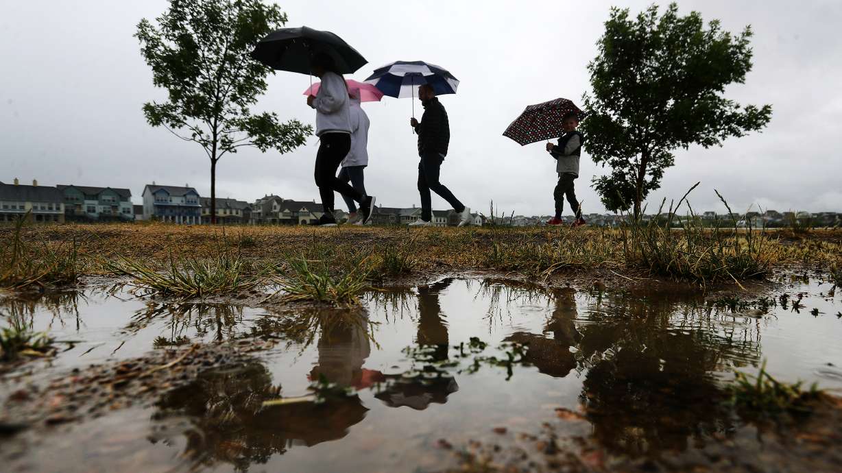
SALT LAKE CITY — Better grab your umbrella if you're planning to head outdoors in northern or central Utah on Saturday.
The pleasant weather that returned to the Wasatch Front this week will come to an end this weekend with a system that's expected to bring much-needed rain for most of Utah and snow in the mountains.
The precipitation is coming from a low-pressure system moving into Utah from the Pacific Northwest, KSL meteorologist Brett Benson explained. It will push out the high-pressure ridge that's been in place across Utah over the past few days.
It's expected to arrive in northwest Utah early Saturday morning and continue into the Wasatch Front later into the morning. It may produce a few showers for central Utah Saturday as well, Benson said.
"Doesn't look like much precipitation, if any, south of I-70," he said.
The National Weather Service issued a winter weather advisory for the Wasatch Mountains Mountains South and Western Uinta Mountains ahead of the storm. The agency also released an updated precipitation prediction model that showed that the storm is expected to provide 6 to 12 inches of snow in those areas by Sunday.
It's also forecast to produce 5 to 8 inches at Ben Lomond and Tony Grove in northern Utah.
Winter Weather and Wind Advisories are in effect for portions of the area tomorrow (Saturday). Details below.#utwxpic.twitter.com/MNZndrncj1
— NWS Salt Lake City (@NWSSaltLakeCity) March 19, 2021
Other high-elevation locations in the state could also experience snow. The model said the storm could provide 5 to 7 inches at Daniels Summit in Wasatch County, as well as 6 to 9 inches and the Pavant Mountains and Tushar Mountains.
Big changes this weekend
— NWS Salt Lake City (@NWSSaltLakeCity) March 20, 2021
Tonight
💨Warm & breezy
Saturday
🧊20°F cooler
🌧️Valley rain, 🌨️mountain snow
Sunday
🌨️Scattered showers #utwxpic.twitter.com/woJR3Mkhfn
Rain will be more prominent in the valleys. Northern Utah valleys — including Brigham City, Logan and Ogden — could receive as much as 1 inch of rain as a result of the storm, the National Weather Service stated. Heber City, Provo and Salt Lake City are forecast to receive upwards of half an inch of precipitation; Duchesne, Nephi and Vernal could are all forecast to receive upwards of a quarter of an inch.
It won't be enough to erase water year deficits, but it's a welcomed forecast — especially after Gov. Spencer Cox issued an emergency order earlier this week due to the state's prolonged drought conditions.
The weather service's station in Salt Lake City was 3.90 inches below normal for this point of the year entering Friday, according to the agency's data. Its Cedar City station's precipitation totals were 4.31 inches below normal, as well.
The largest feature of the coming storm system that the entire state will feel involves its impact on the thermometer. Saturday marks the first day of spring, and it will feel like it.
"We're going to start spring with a big ol' cooldown," Benson said. "We get into spring and get into a more active pattern starting on Saturday."
Highs for Friday include mid- and upper 60s across most northern and central Utah, even reaching the low 70s in Salt Lake City. Temperatures were forecast to reach mid-70s in places like St. George and Zion National Park in southern Utah.
Temperatures over the weekend are expected to be 20 degrees cooler as the storm system moves through. That will leave highs across the Wasatch Front in the upper 40s and low 50s over the weekend and into next week. The cooldown is expected to arrive in St. George on Sunday, dropping highs there down to the low 60s.
Benson added that the system arriving in Utah this weekend may just be the beginning of a pattern of precipitation arriving into the state over the next few days. He said there's a chance for more rain along the Wasatch Front later next week.
Full forecasts for areas across Utah can be found at the KSL Weather Center.


