Estimated read time: 3-4 minutes
This archived news story is available only for your personal, non-commercial use. Information in the story may be outdated or superseded by additional information. Reading or replaying the story in its archived form does not constitute a republication of the story.
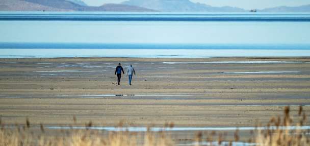
PRICE — The newly-designated San Rafael Swell Recreation Area offers visitors breathtaking vistas through its nearly 340-square mile size. Now a year after it was designated, federal land management officials say they are seeking ways to "enhance visitor experience" for those traveling to a popular unofficial trail in Emery County.
Conducting trail delineation and creating signage are among ideas proposed for the Good Water Rim Trail and other associated areas, Bureau of Land Management officials wrote in an environmental assessment study released Tuesday. Other plans include allowing electric bike use, installing vault toilets, adding information kiosks and improving parking for the trail.
The report looks at the 15.5-mile Good Water Rim Trail, which is located along the northern rim of the Good Water Canyon in the San Rafael Swell Recreation Area. It notes that the current trail was either created by users or emerged on the landscape, but was never authorized by the BLM.
While not an authorized BLM trail, it is listed by a few hiking and mountain biking websites. As of Friday, mountain bikers using MTB Project rated it 4.5/5 stars. It is listed on the website as the top trail in the San Rafael Swell area and the 46th best trail in Utah.
It’s gained popularity over the years for its "dramatic" canyon views and other natural features. The agency wrote that more than 3,000 people visited the area in both 2018 and 2019, with a minimum of 600 visitors per month during April and May — its busiest traffic seasons.
"In recent years, the trail has been highly publicized on popular applications and guides as a 'must-see' destination for mountain bikers, primarily, as well as trail runners, and hikers," the report stated. "As a result, it has become a valuable part of Emery County’s recreation economy and a highly sought-after recreation experience for local users and visitors alike."
Some habitat concerns have surfaced with the trail’s growing popularity. For example, officials wrote that there has been documented trail disturbance in an area where endangered San Rafael cactus grows and a modeled habitat for the threatened Mexican spotted owl. BLM officials wrote that since the trail has no official maintenance or signage, it’s more susceptible for users to break off from the current path, which "presents a threat to the habitat of the federally-listed species."
"The need for the proposed action is to respond to the public’s desire for more recreational opportunities while protecting sensitive resources," the report continues. "The existing trail has impacted and/or has the potential to impact resources in ever-greater extents on public lands in the future, specifically, the endangered San Rafael cactus and the threatened Mexican spotted owl."
One plan calls for a maximum 4-foot wide travel surface and for the trail to be open year-round. E-bikes would be permitted under the proposal. Information kiosks would be set up for information things like trail etiquette and scenic pullouts, but also information about protected cactus and owl species in the area. Three planned parking areas near the trail would consume a total of 0.63 acres, or a little more than 3,000 square yards. Single or double-vault toilets would be installed near all of the parking areas, as well.
Another plan calls for a formal trail without e-bikes allowed, while another calls for no action and the BLM would "monitor trail use and seek to deter unauthorized trail riding, the popularity and publicity of the trail would continue to attract visitors who may seek to access the canyon rim and the existing trail disturbance from unmonitored points, dispersed campsites, and new user-created trails."
The BLM is currently accepting public comments on the trail proposal. People can submit their comments on the agency’s website or by email to BLM_UT_PR_Recreation@blm.gov from now until 11:59 p.m. on May 21.