Estimated read time: 4-5 minutes
This archived news story is available only for your personal, non-commercial use. Information in the story may be outdated or superseded by additional information. Reading or replaying the story in its archived form does not constitute a republication of the story.
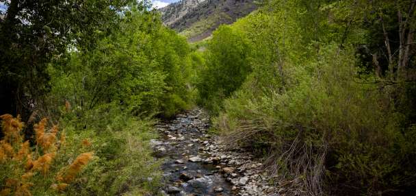
SALT LAKE CITY — This month is quickly rising up the charts as one of the wettest Februaries on record in parts of Utah, and there's more rain and snow on the way.
The National Weather Service issued a winter storm warning and more winter weather advisories for Utah's mountain ranges, where another foot of snow or more is possible Tuesday and Wednesday. Some valley communities may even receive more than an inch of rain by the time the latest system clears out.
Storm timing
A mix of rain and snow already provided some strong precipitation Monday and early Tuesday. Multiple resorts across the Wasatch Mountains reported a new 5 to 10 inches of snow during that stretch, while places like North Ogden received 0.71 inches of rain.
But a high-pressure system located southeast of Utah is helping pump in moisture from the Pacific Coast, bringing in another wave of valley and mountain snow across parts of northern Utah into the afternoon, said KSL meteorologist Matt Johnson. Stronger waves of precipitation are expected to arrive as the day continues, impacting most state regions.
"As the day progresses, I think we'll see better chances ... (of) valley rain and mountain snow," he said.
More waves of precipitation are forecast to arrive throughout most of Wednesday.
Precipitation outlook
The weather service's winter storm warning covers the mountains in southwest Utah, including places like Alton and Brian Head. About 6 to 12 inches of snow is forecast between Tuesday and Wednesday night, though Brian Head and parts of the Tushar Range may receive up to 18 inches.
The advisories state that 6 to 12 inches is forecast to fall across the Wasatch and central mountains through Wednesday, as well. Parts of the upper Cottonwood canyons could end up with 18 inches of snow on top of what's already fallen this week.
High-elevation communities like Heber City, Huntsville and Park City in the Wasatch Back may receive 2 to 6 inches of snow. The same goes for parts of northern Utah like Garden City, Randolph and Woodruff in Rich County.
Road Weather Alert: Statewide Mountain Road Snow and Northern Valley Snow/Slush Now Through Wednesday. For more information, please visit: https://t.co/QrWh3RKePZ#utwx#utsnow@UtahTruckingpic.twitter.com/fDlrhfls2P
— UDOT Traffic (@UDOTTRAFFIC) February 20, 2024
The weather service says driving may be difficult at times through mountain passes. Drivers should slow down and use caution; traction requirements may also be enforced on some routes.
Forecasters add that the snow line will likely be around 7,000-feet to 7,500-feet elevation in most cases.
Johnson said some valley communities may receive a trace of snow and some accumulation, but precipitation is more likely to fall as rain. He noted that parts of the Wasatch Front could end up with close to or more than an inch by Thursday morning, while parts of southern and eastern Utah may also end up with over half an inch.
Active weather ahead with a decaying atmospheric river moving into Utah & complicated snow level situation. This animation shows rain/snow potential today/tonight/tomorrow as depicted by an average of high-resolution models. More info coming in a few hours as we look closer #utwxpic.twitter.com/PNEZnCVCcb
— NWS Salt Lake City (@NWSSaltLakeCity) February 20, 2024
Record in reach?
This month is already one for the record books in Salt Lake City.
Utah's capital ended Monday having received 2.59 inches of precipitation this month, making it the eighth wettest February on record, dating back to 1874, with a little more than a week left. It still has a long way to match the all-time February record of 4.89 inches set in 1998; however, Johnson said it may come close based on the current forecast.
Another storm is expected to arrive early next week, padding this week's precipitation expectations and everything else collected this month.
"It has been a very impressive February," he said.
Salt Lake City normally receives 1.30 inches every February. With a strong past few weeks, the city's 2024 water year, which started on Oct. 1, entered Tuesday 2.25 inches of above normal for this point in the year.
Utah's snowpack is also thriving from all the above-normal moisture. The statewide snowpack average entered Tuesday at 13 inches of snow water equivalent, 115% of the median average for this point in the year.
This year's total to date is also 81% of the median average season total with 43 days left in the normal season. With storms over the past few days, this year's collection has already surpassed the state's 2021 and 2022 seasonal peaks.
February has been a key reason for the success. On average, the state's basins have gained 4.4 inches of water this month, one-third of its entire collection since Oct. 1. That's before all the additional mountain snow expected in the next few days and to close out the month.
Full seven-day forecasts for areas across Utah can be found online, at the KSL Weather Center.