Estimated read time: 4-5 minutes
This archived news story is available only for your personal, non-commercial use. Information in the story may be outdated or superseded by additional information. Reading or replaying the story in its archived form does not constitute a republication of the story.
SALT LAKE CITY — Heavy snow totals and more winter storms forecast for the weekend are prompting avalanche warnings and road closures throughout Utah's northern mountains.
In Salt Lake County, the Utah Department of Transportation warned drivers in the Cottonwood canyons to expect high winds and blowing snow, with a forecast accumulation of 6-12 inches on Friday evening. UDOT weather watchers also anticipate another 2-4 feet of snow accumulation Saturday night into Sunday from a "significant winter storm."
UDOT said on social media there will be weather-related travel delays throughout the weekend. "Good tires don't exempt you from the laws of physics on wet, icy or snowy roads," the agency posted on social media.
On Friday evening, UDOT announced Little Cottonwood Canyon would close uphill traffic at 12:30 a.m. Saturday and downhill traffic at 1 a.m. for avalanche mitigation. Alta Ski Area also announced it will be placed in interlodge from 1-8:30 a.m. Interlodge "requires residents, employees and lodge guests to shelter in place while avalanche professionals ... perform avalanche mitigation," Alta's website explains.
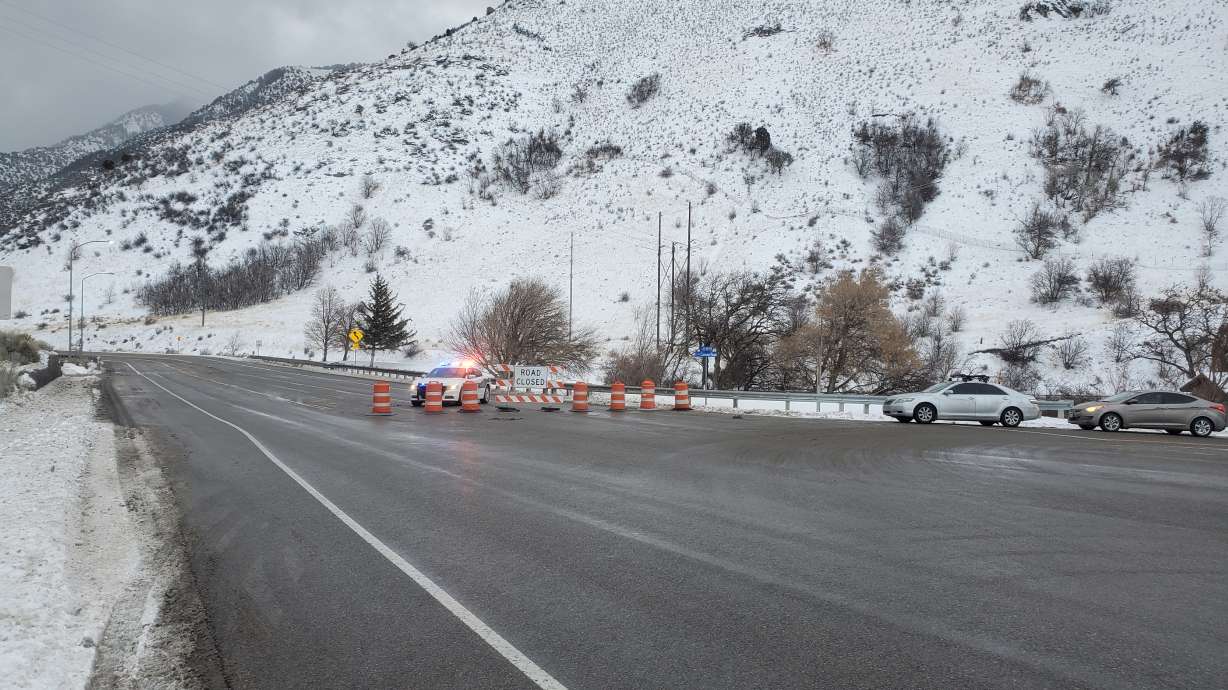
Duchesne County Sheriff's Office also announced Friday that U.S. 191 in Indian Canyon is closed until further notice. Multiple semitrucks were pulled off on the side of the road because the weather made them unable to make it up the canyon, the office said.
U.S. 189 in Provo Canyon was scheduled to have an hourlong closure starting Saturday at 4 p.m. for avalanche prevention measures.
Logan Canyon avalanche
The precautionary measures Salt Lake and other counties are making come after an avalanche hit U.S. 89 in Logan Canyon early in the morning.
Tanner Gittins said he and some co-workers were trying to get to work in Garden City, Rich County, when they pulled up on the avalanche just minutes after it happened. He said he noticed a car in the snow.
"The lucky thing was one of my co-workers was a little bit late. Otherwise, we probably would have been the ones stuck instead," Gittins said. "There was probably, you know, 5, 6 feet or so on the side of the road. And then on the other side, you know, 3 feet, something like that."
Gittins said the driver told them he had tried to drive through the slide but got stuck. The group of them worked together to get his car out.
"We were there, kind of digging them out and getting ready to push, and you know, you're a little worried about more slides coming down," Gittins said. "We wanted to get him out as quick as we could, and we pushed him out and got him on his way."
The avalanche happened in the Dugway, which is almost halfway up the canyon from the Logan side. State troopers say slides like that are impossible to predict, but drivers should remain aware as they get more snow through the weekend.
"You just got to be on your lookout and be aware of the conditions we have right now," Utah Highway Patrol Cpl. Jerry Hardy said. "With the wind and not having snow for a while with a lot of the snow that we've had, that the potential of more slides is higher."
Avalanche danger remains high
The Utah Avalanche Center said avalanche danger remained extreme in the Bear River/Logan area Friday night. The canyon was closed throughout the day, and Utah's Department of Transportation said it would remain closed until Saturday morning.
Avalanche danger remains high across central and northern Utah mountains, according to the Utah Avalanche Center. An avalanche warning has been issued as strong winds and heavy snowfall have created dangerous avalanche conditions.
"Avalanches failing on a widespread, persistent, weak layer buried under the new snow are very likely. Stay off of and out from under slopes steeper than 30 degrees," the center said.
That warning lasts through 6 a.m. Saturday.
The northern tip of the Wasatch Mountains is also facing an extreme avalanche risk, according to the Utah Avalanche Center, which said blizzard conditions are expected to increase danger on Friday, "especially in the central and northern Bear River Range."
The blizzard warning in the area is in effect through early Saturday, according to the National Weather Service, which issues winter weather, wind and avalanche warnings and advisories.
Contributing: Josh Ellis, Bridger Beal-Cvetko


