Estimated read time: 3-4 minutes
This archived news story is available only for your personal, non-commercial use. Information in the story may be outdated or superseded by additional information. Reading or replaying the story in its archived form does not constitute a republication of the story.
SALT LAKE CITY — Many meteorologists have posed a holiday-related question that sparks a debate akin to whether or not "Die Hard" is a Christmas movie.
What constitutes a white Christmas? Does it have to snow on Christmas or is having snow on the ground on Christmas Day good enough? The Salt Lake City branch of the National Weather Service took this debate to social media a couple of years ago, and 56% of people sided with freshly fallen snow.
If that's how you define a white Christmas, the odds of one happening in Utah this Monday are low. KSL meteorologist Kristen Van Dyke says a pair of high-pressure systems are building up over the West, which will make it difficult for storms to enter the state this week.
Partly cloudy conditions with highs in the low-to-mid 30s are forecast across the Wasatch Front, while high temperatures may only reach the upper 20s in parts of northern Utah. Highs closer to 40 degrees are forecast for high-elevation parts of central and southern Utah.
"(It's) definitely feeling much more like winter, much more like Christmas," she said, noting the colder temperatures.
The high temperature may reach the 50s in St. George, as well.
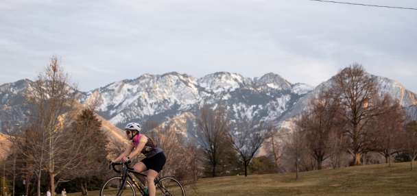
The remaining 44% who say snow just needs to be on the ground may need to venture out into the mountains for a white Christmas this year. A small snowstorm that swept through the state on Saturday only dumped as much as 2 inches in some valley areas, according to Van Dyke. It also brought about 6 inches of new snow in the mountains.
Places like Alta Ski Area still boast a 58-inch base, as of Christmas Eve night.
Utah's white Christmas history
There was no new snow in Salt Lake City last Christmas, but there was still some lingering snow on the ground from the nearly foot of snow that had fallen in the weeks before the holiday, National Weather Service records note.
In fact, the agency even has a graphic that shows what every Christmas Day has looked like in a handful of Utah cities over the past few decades. The last white Christmas in Salt Lake City, at least by new snowfall measures, happened in 2019.
🎄Curious what previous Christmas Days have brought? Take a look at what Christmas has brought for Salt Lake City, St. George, Logan and Heber in years past. #UTwxpic.twitter.com/2pq6dTBR9z
— NWS Salt Lake City (@NWSSaltLakeCity) December 20, 2023
The National Centers for Environmental Information, collecting all of this data, also regularly updates a map that shows where one can likely find snow on Christmas Day, based on snow that has already fallen by Christmas Day, at least. As one may suspect, Utah's mountain ranges — along with most of the Western mountains — remain some of the best bets to have at least 1 inch of snow on the ground by Christmas Day.
Parts of the Upper Midwest and Northeast are the only areas where snow is almost certain on Christmas Day among the contiguous U.S. regions.
The last week of 2023
Dry conditions are expected to linger for the final week of the year, which means hazy inversion skies are possible — if not likely — along the Wasatch Front and northern Utah, Van Dyke says.
"We will see extra cloud cover around as we head through the week, but we just never get the (precipitation) going," she said. "For several days in a row, we're just going to be bone dry."
Long-range forecasts currently indicate that the next storm may not be until the upcoming New Year's weekend.
Full seven-day forecasts for areas across Utah can be found online, at the KSL Weather Center.


