Estimated read time: 2-3 minutes
This archived news story is available only for your personal, non-commercial use. Information in the story may be outdated or superseded by additional information. Reading or replaying the story in its archived form does not constitute a republication of the story.
SALT LAKE CITY — A major winter storm is expected to roll in Tuesday evening, according to the Salt Lake City National Weather Service.
Up to 12 inches of snow is expected in the valleys across the Wasatch Front, with 2 to 3 feet in the northern mountains. Central and southern Utah mountains could see 1 to 2 feet of snow. It could lead to a messy commute Tuesday evening into Wednesday morning. The National Weather Service issued multiple warnings Monday advising drivers to be careful amid the storm.
Expect around 2-3 feet of snow for the northern mtns, 1-2 feet for central/southern mtns, 6-12" Wasatch Front. More info about each area here: https://t.co/sLZBm1dlDX or for our probabilistic snow page: https://t.co/3CqW3WTefg#utwxpic.twitter.com/VdQ3duH6BC
— NWS Salt Lake City (@NWSSaltLakeCity) February 20, 2023
The National Weather Service also warned southern Utah residents to secure all trampolines, lawn furniture, garbage cans and outdoor decorations as high winds are expected Tuesday into Wednesday.
Utah Department of Transportation also warned about the morning commute impact from the storm.
"Winter's not done with us yet," said John Gleason, spokesman for the Utah Department of Transportation. "This is shaping up to be a pretty big storm."
Gleason said to expect snow on the roads and in the mountains and valleys from the statewide storm. He said UDOT crews are getting some rest before what's expected to be a very busy few days.
Road Weather Alert:
— UDOT Traffic (@UDOTTRAFFIC) February 20, 2023
A major winter storm will impact the state beginning Tue AM in N Utah. Tue PM and Wed AM commutes will be highly impacted for Wasatch Front. Some areas will get 6-12in, 1-3ft for mtns.
For more info, visit: https://t.co/4P1gO2c9Uo@UtahTrucking
#utsnow#utwxpic.twitter.com/c75J6Jeb9T
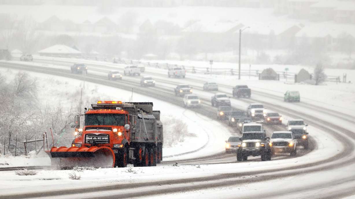
"Our plow crews are going to be out there," he said. "They're going to be working hard and long hours to make sure that our roads are safe, but the intensity of the storm — there are going to be times where we are going to see heavy road snow."
UDOT is spreading the word early that Utahns may want to consider working from home on Wednesday or delay travel. The agency also issued the following advice:
- Give yourself plenty of time.
- Keep a full tank of gas.
- Check your tires for enough tread.
- Have warm clothing and a survival kit in your car.
"Make sure that you are not out on the road on bald tires and that your vehicle is ready to go," Gleason said. "Put away those distractions and focus all of your attention on the road."
The Utah Highway Patrol said it will have extra troopers patrolling problem spots throughout the storm.
"The biggest thing that we worry about all the time is vehicles following too close," said UHP Sgt. Colton Freckleton. "In these snow storms you don't have enough time to reduce your speed to avoid crashes."
The Utah Avalanche Center also put out warnings ahead of Tuesday's storm.
"Avalanche danger will be on the rise with the incoming storm, think about shifting the mindset to stepping back over the next few days. The avalanche danger is MODERATE across all upper elevation terrain for shallow slabs of wind-drifted snow. Be on the lookout for pockets of reactive wind-drifted snow, especially in steep, consequential terrain where even a small avalanche can have a detrimental outcome. Out of the wind zone, the avalanche danger is LOW."
Get the complete forecast on the KSL Weather Page.


