Estimated read time: 2-3 minutes
This archived news story is available only for your personal, non-commercial use. Information in the story may be outdated or superseded by additional information. Reading or replaying the story in its archived form does not constitute a republication of the story.
SALT LAKE CITY — The National Weather Service says the threat of floods is expected to remain in Utah to close out this week as monsoonal moisture persists in the state.
The agency on Thursday issued yet another flood watch for most of southwestern Utah, reaching up into central Utah and even Tooele County. However, similar watches may be issued over the next few days.
"Deep moisture will bring showers and storms capable of producing heavy rain that could cause flash flooding through the weekend," weather service meteorologists tweeted.
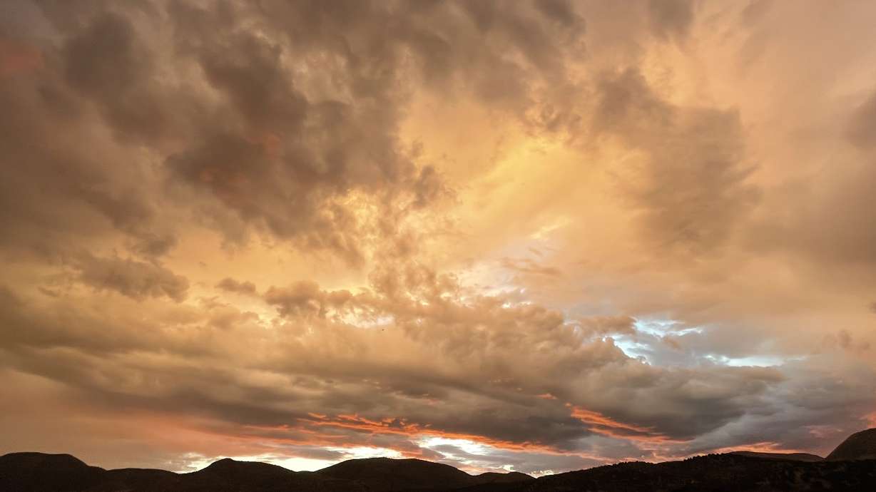
KSL meteorologist Matt Johnson explains that rain expected over the next few days is a result of something he calls a "pinch pattern." A high-pressure system set up over Colorado and a low-pressure system over the Pacific Northwest coast are helping pump in air from the south toward Utah. It's pushing monsoon moisture in Arizona up into the Beehive State.
All parts of the state will experience showers and thunderstorms heading into the weekend and possibly into the start of next week.
"Anywhere you go in the state, keep an eye to the sky because we're dealing with the monsoon moisture ... as we see an ample push in monsoon moisture here," he said, adding that flash flooding is possible or probable at many of Utah's outdoor recreation treasures.
While the storms pose a flood risk, this month's monsoonal rains continue to chip away at Utah's drought situation. While all parts of the state remain in at least a moderate drought, the share of the state in at least of extreme drought fell slightly for the second-straight week after months of growth, according to the latest U.S. Drought Monitor report. About 79% of the state remains in at least extreme drought, down 3.33 percentage points from last week's report.
Richard Tinker, a meteorologist and drought expert for the National Weather Service, wrote in the national report that monsoons across parts of New Mexico, Arizona and southeast Utah were "above normal" over the past week, which helped improve dry conditions in those areas.
"Most locales in Arizona, New Mexico, the California deserts, southern Nevada and a few other scattered areas have measured at least 200% of normal over the past two months," he added in the report. "Portions of southeastern California, the Sonoran Desert, southwestern and northeastern Arizona and a large area in northwestern New Mexico have been doused by three to five times normal rainfall."
Even in Salt Lake City, the more recent storms have produced above-normal precipitation in August. The city typically receives 0.58 inches of rain during the month; it received 0.55 inches just in one storm last week. So far, 1.07 inches of rain has fallen over Utah's capital city this month.
Full seven-day forecasts for areas across Utah can be found online, at the KSL Weather Center.


