Estimated read time: 2-3 minutes
This archived news story is available only for your personal, non-commercial use. Information in the story may be outdated or superseded by additional information. Reading or replaying the story in its archived form does not constitute a republication of the story.
SALT LAKE CITY — The National Weather Service issued multiple weather advisories and severe thunderstorm and flash flood warnings for southern Utah, as smoky skies and triple-digit temperatures are forecast for northern Utah Sunday.
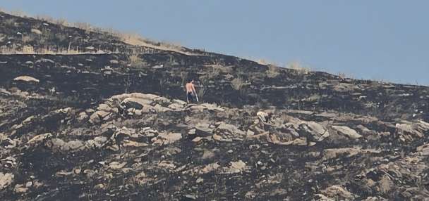
The agency issued flash flood warnings for Iron County near Parowan at the Brian Head burn scar and areas near Zion National Park Sunday afternoon.
Up to 1.5 inches of rain has fallen near Parowan, which "could result in debris flow moving through the Parowan Creek drainage," the agency said in a tweet. This warning lasts until 7 p.m., while the warning for Kanarravile was set to last until 5:30 p.m.
The city of Springdale and the north fork of the Virgin River, Deep Creek, Shiver Creek and Crystal Creek in Zion National Park are under a flash flood warning until 8:45 p.m. The National Weather Service said around 2 inches of rain have fallen and "flash flooding is imminent."
This Flash Flood Warning is for the Brian Head burn scar. Radar estimates up to 1.5 inches of rain have fallen over the scar and this could result in debris flow moving through the Parowan Creek drainage. #utwxhttps://t.co/fEuTtWAxFJ
— NWS Salt Lake City (@NWSSaltLakeCity) July 25, 2021
Other areas in southern Utah spent the afternoon under significant weather advisories as storms passed through the area. Many of these advisories were set to expire at or before 4:45 p.m. Wind gusts up to 50 mph were observed in Richfield.
Cedar City is under an urban and small stream flood advisory until 7:30 p.m. The Ashdown Forest subdivision is expected to be hit the hardest.
Additionally, we have issued an Urban and Small Stream Flood Advisory until 7:30 PM for Cedar City. Use caution when traveling and prepare for urban flooding. Among the areas most impacted will be the Ashdown Forest subdivision. #utwx
— NWS Salt Lake City (@NWSSaltLakeCity) July 25, 2021
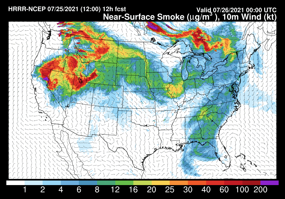
Smoky skies continued Sunday in northern Utah as the result of wildfires burning in parts of the Western U.S. More than 85 large wildfires are burning around the country, most of them in western states, the Associated Press reports.
The Air Quality Index for Sunday shows unhealthy air across northern Utah. However, weather patterns should lead to clearer air beginning Monday, the National Weather Service said.
Hot, dry weather will continue in the north with a forecast high temperature of 100 degrees in Salt Lake City Sunday.
Get the complete forecast on the KSL Weather Page.