Estimated read time: 3-4 minutes
This archived news story is available only for your personal, non-commercial use. Information in the story may be outdated or superseded by additional information. Reading or replaying the story in its archived form does not constitute a republication of the story.
PROVO — Drones have become an ally to industries like agriculture and law enforcement for surveillance and information gathering. But what happens when drones fly into an area with little-to-no GPS signal? BYU’s engineering department is attempting to solve that problem.
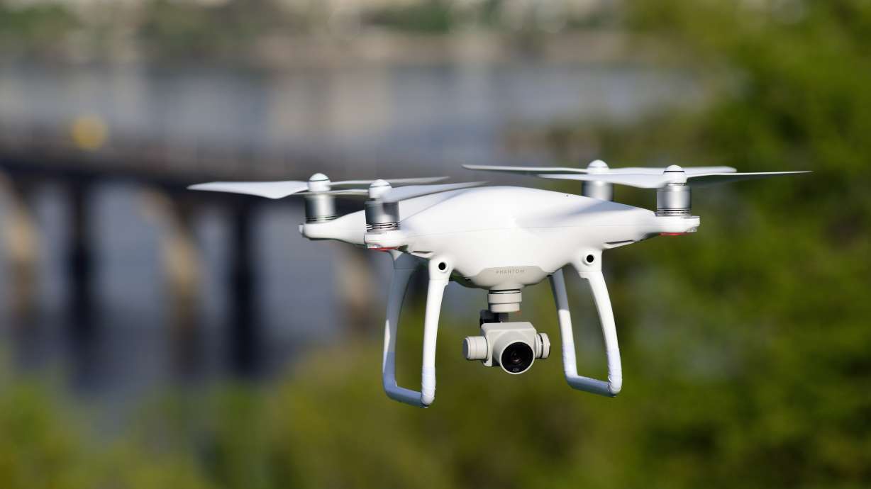
Drones, or unmanned aerial vehicles (UAVs), have many uses. UAVs with cameras can be used for landscape photography and videography. They are used in farming to measure weather conditions and topography. The military uses drones for surveillance.
Drones are controlled mostly by GPS, but when most drones fly into areas with poor GPS signals, they have a high chance of crashing. Most drones will just stop flying and immediately land without a signal, according to Skycatch, a drone imaging processing platform.
In order to make drones more accessible and useful, BYU engineering department personnel are testing UAVs that can operate without a GPS signal.
“GPS has been critical to the development and progress of drones as a useful platform for doing any number of things,” said Tim McLain, lead researcher on the project and a mechanical engineering professor at BYU. “Without GPS, the unmanned aircrafts not only don’t know where they’re at but their control that keeps them inflight can become unstable. And basically without GPS, many drones are susceptible to crashing really quickly. They can’t fly alone without GPS.”
McLain said that he and his team are trying to use other methods to detect location besides GPS. They have utilized onboard sensors, like cameras, scanning lasers and depth sensors to gather information so the drone senses where it is.
“By keeping track of where the drone is relative to its fixed environment around it, we can provide the position and altitude information that the drone needs, not only to know where it is relative to the environment, but to remain stable in flight,” McLain said.
A test of McLain's team's research showed that the drone flew 1800 meters in 2 1/2 minutes with an error of less than 3 percent for the distance traveled, according to a BYU news release. The team was also able to track the drone’s location successfully.
The ability for a drone to function properly without GPS navigation will be of importance to many industries, according to McLain. He said that drones will be able to function more properly in urban areas with large buildings or in war zones with jammed signals.
“Certainly, military applications have lots of issues with (GPS) because it’s common for (enemy combatants) to jam a GPS signal,” he said. “So in military operations, this ability to fly without GPS is highly sought after.”
UAVs that aren’t dependent on GPS signals can also be useful in building inspection and home deliveries.
“This isn’t something that replaces GPS because it’s better,” McLain said. “But when GPS is gone, the ability of the aircraft to perform useful things is limited. We just want to, in some way, allow the aircraft to be useful.”
The project is funded by the National Science Foundation and research is supported by the Center for Unmanned Aircraft Systems, according to the news release. BYU officials said the center is the only National Science Foundation-funded unmanned aircraft research center in the United States.


