Estimated read time: 2-3 minutes
This archived news story is available only for your personal, non-commercial use. Information in the story may be outdated or superseded by additional information. Reading or replaying the story in its archived form does not constitute a republication of the story.
SALT LAKE CITY — Earlier this year, KSL-TV told you how the National Weather Service (NWS) is keeping a close eye on burn areas so it can predict big mudslides and warn residents before a river of mud hits their home.
The Seeley Fire burn scar slid earlier Tuesday, sending mud and debris down into Huntington Canyon.
At least 10 miles of the canyon are closed and will be for some time while UDOT crews clean up the mess.
"And we just had one kick off a debris flow," said Brian McInerney, a hydrologist from the NWS.
Dramatic video from Chopper 5 shows State Road 31 closed near Huntington, Utah.
"We've got areas lighting up all over the place," McInerney said.
This is the second debris slide in the state this year.
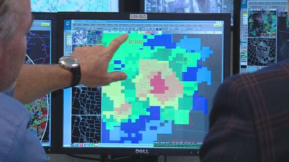
At the National Weather Service, they watched radar closely with no way of having real time data on the ground.
"Had we had one of these weather stations there, they wouldn't have had to be staring at it so intently," said Al Martinelli with the NWS.
They warned local officials and fortunately, no one was trapped or hurt. But elsewhere as news of another slide near the Quail Fire burn scar broke Tuesday tonight, they get real time data as it happens.
As soon as the rain goes into the sensor and trips a threshold, then it alerts the forecasters here on these computer monitors.
–Al Martinelli
"Alpine is our worst area, because it's so steep, so burned," McInerney said.
They get real time data as it happens.
"As soon as the rain goes into the sensor and trips a threshold, then it alerts the forecasters here on these computer monitors," Martinelli said.
It's all thanks to four portable weather stations. They are property of the state of Utah, purchased through a federal grant that doesn't cost taxpayers a penny.
They sit near wildfire burn scars. The sensors alert the weather service, which in turn, can warn residents in slide prone areas.
"We had a smaller debris flow coming off the Quail burn scar, near the town of Alpine and that was about a week ago," McInerney said.
The sensors are near Alpine, Fountain Green, Oakley and Saratoga Springs and each has been active and crucial.
But like in many cases, no news from these stations is good news.


