Estimated read time: 3-4 minutes
This archived news story is available only for your personal, non-commercial use. Information in the story may be outdated or superseded by additional information. Reading or replaying the story in its archived form does not constitute a republication of the story.
SALT LAKE CITY — The Legislature's Redistricting Committee has narrowed it down to six proposals that divide Utah into four congressional districts.
The committee spent several hours Thursday refining their choices, and hope to settle on a single map at their next meeting on Tuesday, a week before the Legislature's special redistricting session begins.
Only one of the maps selected features an urban district that's surrounded by largely rural districts, similar to the so-called "donut" plan seen as favorable to Democrats.
But that map, drawn by Rep. Wayne Harper, R-West Jordan, puts most of the more liberal communities in the Salt Lake area along the east bench into a rural district.
The point is not to adopt up or down any of these maps.
–House Speaker Becky Lockhart
The other five maps break up the state into districts that include both urban and rural areas, widely referred to as the "pizza" plan generally preferred by Republicans, who control the Legislature.
Lawmakers must adjust the congressional, legislative and state school board boundaries every 10 years to reflect the results of the national census. The 2010 count gave Utah an extra seat in Congress, but showed population shifting away from some more Democratic areas.
The committee did hear presentations from several Democrats and groups advocating an independent redistricting process, but their proposals didn't make the shortlist.
Still, House Speaker Becky Lockhart, R-Provo, a committee member, made it clear the maps approved Thursday in two rounds of voting are likely to be changed.
"The point is not to adopt up or down any of these maps," she said, describing the purpose of approving the list of maps as providing the committee with "basic constructs."
One of the congressional maps still under consideration came from Sanpete County Commission Chairman Steve Clark, who earlier in the meeting, criticized the committee's state House map.
Clark said the base map adopted by the committee would divide Sanpete County three ways, "effectively emasculating" the county's voice in the Legislature. "We're essentially being thrown under the bus and we object," he said.
But he later argued in favor of mixing urban and rural voters in each of the state's now-four congressional districts, warning that otherwise, politicians in urban districts have "the luxury" of ignoring rural issues.
Kelly Lundgren, head of Represent Me Utah!, told the committee that rural Utah should be put into separate districts because voters there share common concerns, just as urban voters do.
Lundgren said in an interview she was disappointed the committee didn’t keep any of the proposals from her or other advocate groups in the mix. "I feel it would have said something nice to the public, that they were listening to us," she said.
Just a day earlier, lawmakers learned that maps presented by Fair Boundaries, the group behind a failed initiative to create an independent redistricting commission, were produced by a state Democratic Party adviser.
Lundgren said that gave lawmakers an excuse to ignore the groups supporting what they believe is a fairer and less-partisan process more likely to focus on keeping communities of interest together.
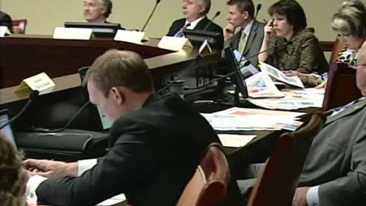
There was a flutter of excitement during Thursday's nearly six-hour meeting when a political consultant, Alan Crooks, had a sheet passed out containing political data about a particular map.
After a brief conversation with legislative counsel, Crooks told the committee that he was withdrawing the handout. Wary of legal challenges, lawmakers are being careful to avoid the appearance of politics entering into their decisions.
Before tackling the congressional maps, the committee made several changes to the legislative maps. Those, too, are expected to continue to be tweaked. All the maps are available online at www.redistrictutah.com.
Email:lroche@ksl.com


