Estimated read time: 1-2 minutes
This archived news story is available only for your personal, non-commercial use. Information in the story may be outdated or superseded by additional information. Reading or replaying the story in its archived form does not constitute a republication of the story.
John Hollenhorst Reporting In the future, scientists may be able to forecast earthslides like the one in Philippines. That's the opinion of a Utah scientist who's helped develop amazing new technology that could save thousands of lives.
Slide experts are pretty good at identifying danger zones, if they have good 3-D maps. Suppose you could get one in just a few seconds? Ordinarily. mapping takes days of work. Climbing all over a hillside. Taking measurements. Doing calculations. Making careful notes. But a machine does it all in seconds.
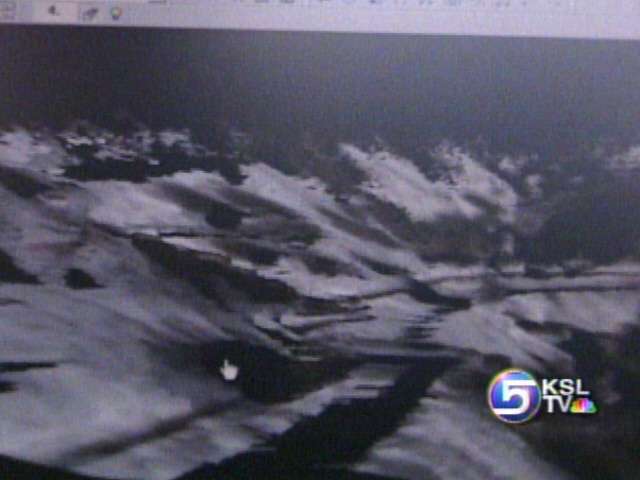
It's called a LIDAR; similar to Radar, it's a laser and video system that sprays the hillside with light. 10,000 bursts of laser light every second hit the hillside and bounce back. In just a minute or two, computer software translates the data into highly detailed 3-D maps.
Experts can turn the map any way they want. They can zoom in on details and look for geologic clues. Professor Robert Pack says huge regions can be scanned quickly from an airplane to identify areas vulnerable to slides.
Robert Pack, Assoc. Professor, Utah State University: “Cracks, fissures on the hillside, subtle little hummocks, features that are bulging that show that the land has moved. And if we can discover those in advance and know that they're there, we can begin to predict what might happen.”
Instant 3-D mapping has many other potential uses in construction, mining, law enforcement and military operations. Utah State is licensing the technology to industry. Pack says it's already being used in Austria to monitor areas vulnerable to slides.