- Salt Lake City recorded its warmest winter since 1874, and a state record is likely to follow.
- Previous warm winter record was also when Utah experienced record low snowpack.
- Utah needs to gain 2.7 more inches of snow water equivalent statewide to match previous record low snowpack.
SALT LAKE CITY — Utah's capital city experienced its warmest winter since weather records were first kept in 1874 — and the rest of the state will likely follow suit.
The National Weather Service confirmed Salt Lake City's record on Sunday, reporting that its average temperature of 40.7 degrees Fahrenheit from Dec. 1 through the end of meteorological winter on Saturday bested the previous record from the 2014-15 season by 2.2 degrees.
That winter was also Utah's warmest since statewide data was first collected in 1895. New federal climate data will be released next week, which will likely show that this winter blew the previous record out of the water, too.
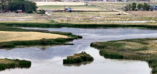
Utah water managers and snow enthusiasts hope that Utah will avoid breaking another record set that year. The 2014-15 water year produced the lowest snowpack peak since the modern era began in the 1980s, at just 10.2 inches of snow water equivalent statewide.
The Beehive State, on average, entered this month with just 7.5 inches of water in the mountains statewide, which is 60% of normal for this point in the year. It also means that Utah's sites need to collect another 2.7 inches just to match the previous record low for a season.
A wet start to March
That's where every additional storm helps, and meteorological spring is off to a good start. A storm that entered Utah's northern half on Sunday is expected to continue to deliver a mix of valley rain and mountain snow, mostly across the Wasatch Front and northern Utah, through early Tuesday.
While it didn't trigger any warnings or advisories, up to a foot of snow was possible in the upper Cottonwood canyons from the system, per the National Weather Service. Most of the snow was expected in areas above 9,000 feet elevation because of the warmth of the storm, but that was expected to drop to as low as 6,500 feet elevation toward the end of the system.
Many communities in Davis County northward had already received over 0.5 inches of precipitation by 4 p.m. Monday.
Another storm is on track to hit northern, central and possibly parts of southern Utah toward the end of the workweek, although expected projections will be more certain closer to the time it arrives. Full seven-day forecasts for areas across Utah can be found online at the KSL Weather Center.
Additional precipitation could be in the wings next week, as the Climate Prediction Center lists most of Utah as having greater chances for "near normal" precipitation closer to mid-March. This month is normally one of Utah's wettest months of the calendar year, so that wouldn't be the worst-case scenario.
Nearly all of Utah is now listed as having "equal chances" of precipitation throughout the month, which means there's no clear signal as to whether this month will be wetter, drier or near normal altogether. That's an improvement from its previous March outlook that listed most of central and southern Utah as having greater odds for below-normal precipitation this month.
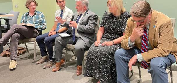
"It's definitely leaning far away from (the odds of) getting back to normal ... but it also doesn't look like the worst-case scenario," said Glen Merrill, a hydrologist for the National Weather Service, in a snowpack update last month.
Experts have held out hope for a March repeat. Utah's statewide snowpack jumped from 10.6 inches of snow water equivalent statewide on March 1, 2025, to 14.2 inches toward the end of the month last year, elevating the final peak closer to normal.
However, Utah would need to nearly double its snowpack in the next month to reach its average by the normal peak in early April.
If not, the hydrologists and state water officials have repeatedly told Utahns to prepare for potential impacts this year. They're urging residents to cut back on consumption to reduce any strains on reservoirs.
"We'll need consistent snowstorms to make up for the snow deficiency we have been experiencing this winter," said Joel Williams, director of the Utah Division of Water Resources, in a statement last month.