Estimated read time: 2-3 minutes
This archived news story is available only for your personal, non-commercial use. Information in the story may be outdated or superseded by additional information. Reading or replaying the story in its archived form does not constitute a republication of the story.
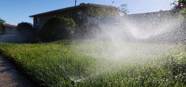
SALT LAKE CITY — The heat wave is on its way out, but a new culprit has descended on Utah in its wake: wildfire smoke.
Winds from the north and the east are ushering in unhealthy levels of pollution forecasted to remain in the area through Sunday, according to the Utah Division of Air Quality.
Hold your breath: Some pretty active wildfires in Idaho are to blame and the AirNow.gov interactive map allows folks to see where the fires are burning that are pushing pollution levels to the extreme.
Wildfire smoke behaves much differently than Utah's notorious inversions, according to Jon Wilson, a meteorologist with the National Weather Service in Salt Lake City. Inversions are the result of cold, dense air trapped on the valley floor which lassos harmful pollutants. In the case of an inversion, people can head to the mountains to escape the noxious air but oftentimes, wildfire smoke can be worse the higher elevation you reach.
In these unhealthy conditions, state officials warn that sensitive groups such as the young, the elderly, and those with underlying respiratory conditions take precautions and avoid outdoor exertion.
"If you are outside, you are going to be in it pretty much wherever you are, the valleys or the mountains," Wilson said. As of 10 a.m., Friday, the Weber/Box Elder area was reporting crazy high levels of fine particulate pollution, or PM2.5, at 51.2 micrograms per cubic meter. The federal threshold is 35.
The worst of it: Friday and Saturday will be the smokiest days, with some of it starting to dissipate by Sunday. While it is hazy and unhealthy out there, this bout of wildfire smoke is nothing like what descended on northern Utah last year, which logged the most unhealthy air on the planet.
Anyone notice a campfire smell this morning? Smoke from various western wildfires has reached northern Utah and southwest Wyoming, and will stick with us through at least Sunday #utwx#wywxpic.twitter.com/tX9FCUPC8X
— NWS Salt Lake City (@NWSSaltLakeCity) September 9, 2022
Welcome drop in temperatures: Residents in Utah and the West are relishing in the temperature drop that came Friday. Even forecasters are celebrating.
Wilson said tropical storm Kay will push in some much needed moisture for Utah and other parts of the West, as well as scrub the skies.
"It will be a nice change," he said, with a more than decent chance it will be a wet day on Tuesday and Wednesday.
Yes we have smoke in the area... but check out these temperature changes as compared to 24 hours ago! We're currently seeing temperatures anywhere from 5 to 25 degrees COLDER than they were around this time yesterday! Thanks, cold front! #utwx#wywxpic.twitter.com/FqEjeaqr6Y
— NWS Salt Lake City (@NWSSaltLakeCity) September 9, 2022
The remnants of that storm will deliver the moisture in what has been a summer of 34 days of triple digit temperatures.
Wilson said this will be an "organized" storm, much more than typical monsoonal activity, but that does not mean southern Utah will be off the hook for potential flash flooding — due to more active moisture content.