Estimated read time: 2-3 minutes
This archived news story is available only for your personal, non-commercial use. Information in the story may be outdated or superseded by additional information. Reading or replaying the story in its archived form does not constitute a republication of the story.
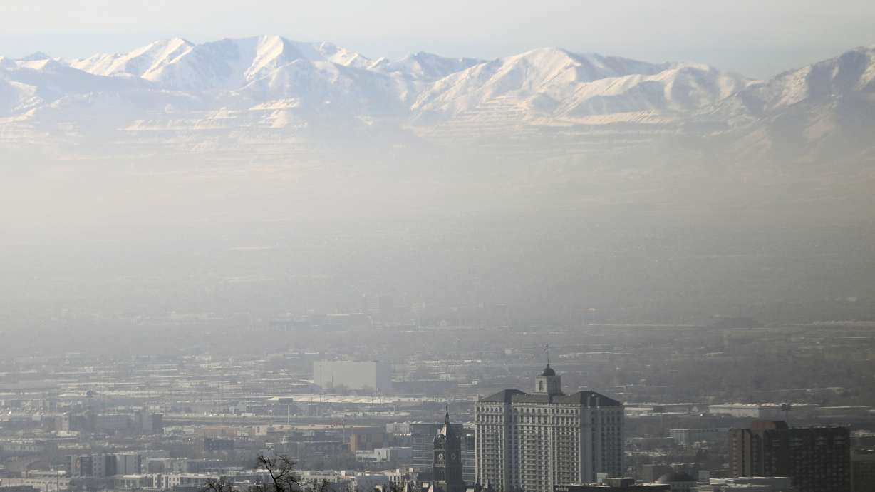
SALT LAKE CITY — A storm heading Utah's way Thursday evening won't produce as much snow as storms did last month but it will finally clear out the inversion over the Wasatch Front that has worsened air quality over most of the past two weeks.
The Wasatch Front will remain smoggy Thursday with air quality levels unhealthy for sensitive groups from Utah County north to Cache County, according to the Utah Division of Air Quality.
But a storm coming in from the northwest is expected to sweep down into Utah, bringing snow to northern Utah areas beginning around 7 or 8 p.m., said KSL meteorologist Grant Weyman.
"For folks waking up (Friday morning), I think we're waking up to snow on the ground. It can certainly be slick out there with some the unplowed roads, maybe a few icy spots," he said.
Scattered snow showers are expected at points throughout the night into Friday morning along the Wasatch Front, Cache Valley and Utah's mountain areas.
The National Weather Service projects that it will provide 3 to 7 inches of snow along Utah's mountain roadways. Wasatch backcountry places, like Heber City, Huntsville and Park City, could see 1 to 3 inches as well, Weyman said. He added that northern Utah valleys may see anywhere from a trace to a couple of inches of snow.
"It's not the biggest storm in the world ... (but) the resorts would like to get some fresh powder. They will do so," he said. "It's a nice storm to clear things out (and) dust up the mountains a little bit."
It's also beneficial to Utah's snowpack, which has fallen closer to average now because of the lack of storm activity the past few weeks. The statewide snowpack is still 115% of normal, while Wasatch Front mountain areas are closer to the Wasatch Front region are about 105%, according to the Natural Resources Conservation Service.
Weyman added that the storm might cause slippery roadways, especially ones where there isn't enough snow for roads to be plowed. That's why he cautions drivers to take a little bit of extra time in their Friday morning commute.
As for the outlook after the storm, the skies are expected to clear up over the weekend. However, Weyman said it's likely that another inversion will set up early next week with another lull in storm activity in the forecast, allowing hazy conditions and poorer air quality to gradually return.
Full seven-day forecasts for areas across Utah can be found at the KSL Weather Center.


