Estimated read time: 2-3 minutes
This archived news story is available only for your personal, non-commercial use. Information in the story may be outdated or superseded by additional information. Reading or replaying the story in its archived form does not constitute a republication of the story.
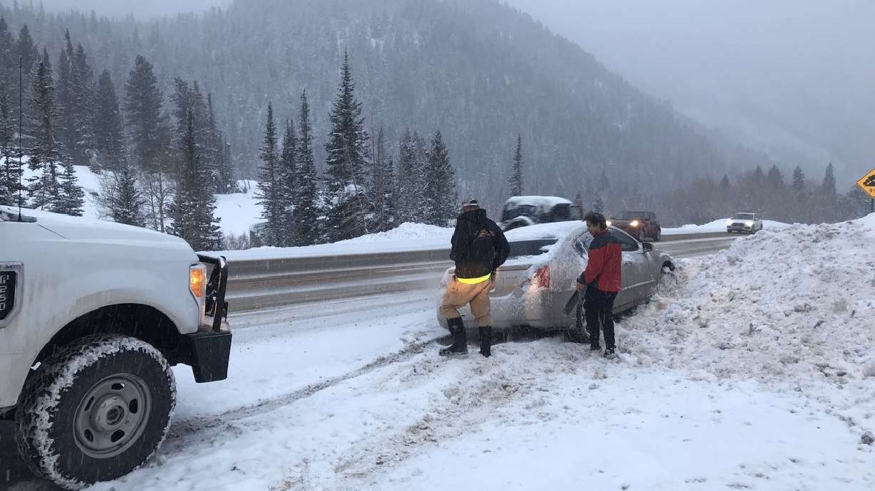
SALT LAKE CITY — Another wave of wintry weather is expected to weave through northern Utah Thursday ahead of a stronger storm this weekend.
Valleys will see mostly wet roads, with up to an inch of snow accumulation in some areas along the Wasatch Front, according to KSL Weather Meteorologist Grant Weyman. The weather is expected to come through northern Utah between 7 a.m. and about 12 p.m., he said.
High-elevation areas such as Parleys, Weber and Sardine canyons may see a few more inches of snow, Weyman said.
More snow showers on the way... we expect the window to be between 7am and about 12 pm. Some accumulation-- but mainly on grassy areas in the valleys. pic.twitter.com/m4pnjOWSjr
— Grant Weyman (@KSLweyman) January 9, 2020
A stronger storm moves in Saturday and could dump more snow in the valleys, according to Weyman. Northern Utah is expected to see more snow showers on Sunday and again on Tuesday, he added.
Snowbird and Powder Mountain are expected to see 6-8 inches through Friday morning, according to the National Weather Service in Salt Lake City. Logan is forecasted to receive 1-2 inches during that time, but most other areas in northern and central Utah are predicted to see less than an inch, the weather service said.
Here's the deets for ❄️ today ➡️ Friday AM. Areas north of Salt Lake City see most snow during the day today, while areas south most snow will come this evening and overnight. Limited lake effect snow showers tonight, but threat is decreasing. https://t.co/FmlUW3ioiE#utwxpic.twitter.com/UpiDWHnaKO
— NWS Salt Lake City (@NWSSaltLakeCity) January 9, 2020
Some lake effect showers are possible for the Salt Lake Valley on Friday morning, according to the weather service.
Tire chains or 4-wheel drive were required for all vehicles traveling in Big Cottonwood and Little Cottonwood canyons Thursday morning, but the restrictions were lifted about 10:30 a.m., according to the Utah Department of Transportation.
However, the restrictions were reimplemented about 2:40 p.m. for Big Cottonwood Canyon, according to UDOT.
The agency reported the first slideoff of the day in Little Cottonwood Canyon about 8:15 a.m.
More traffic information is available via the KSL Traffic Center, @ksltraffic on Twitter, or at udottraffic.utah.gov.
The full KSL Weather forecast is available at ksl.com/weather.


