Estimated read time: 4-5 minutes
This archived news story is available only for your personal, non-commercial use. Information in the story may be outdated or superseded by additional information. Reading or replaying the story in its archived form does not constitute a republication of the story.
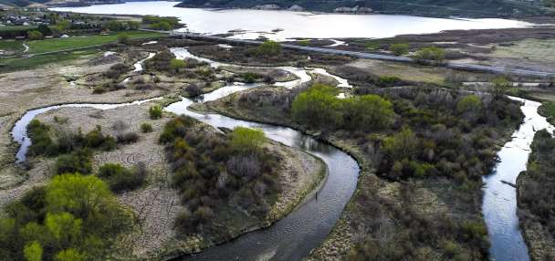
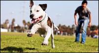
SALT LAKE CITY — Finding a dog friendly, off-leash trail in Salt Lake and Utah County can be a challenge, especially if you don't know where to start. These five dog trails will not only give your pup a workout and get you outside, but will also get your heart pumping.
Bowman Fork
Looking to escape the heat and hike along a stream? If so, then the Bowman Fork trail is perfect for you and your dog. The Bowman Fork trail head is located in Millcreek Canyon about 4 miles up the canyon. You can hike to White Fir Pass, which is about 2 miles one way with a 1500-feet elevation gain. It offers great views of Gobbler's Knob and the surrounding forests. Dogs may be off-leash on odd days and must be leashed on even days.
To get there, turn right at the Terraces Picnic Area sign and cross the small bridge. Head up the narrow road to the parking area and begin hiking at the trailhead. Restrooms are located at the trailhead.
Location: Terraces Picnic Area in Millcreek Canyon
Distance: 2 miles one way
Desolation Overlook
The Desolation Overlook Trail is a great hike in Millcreek Canyon. To reach the trail, drive up Millcreek Canyon for about 2.5 miles. Just past the Millcreek Inn, on the right hand side, there is a sign for the Desolation Overlook and a parking lot. Restrooms are located at the trailhead.
To get to the overlook, hike up the long switchbacks for 2.2 miles. Make sure to watch for trail signs so you don't miss where to turn. Dogs may be off leash on odd days and must be leashed on even days.
Location: Desolation Overlook in Millcreek Canyon
Distance: 2.2 miles one way
Related Stories:
6 hikes, off-leash parks for playing with your dog in S.L. County
With the weather warming up, many dogs and humans alike are itching for new outdoor adventures.Bloods Lake and Lake Lackawaxen
Bloods and Lackawaxen Lake both start from the east side of Guardsman Pass up Big Cottonwood Canyon. Dogs are allowed off leash on this trail since it is on the back side of Big Cottonwood Canyon and not a part of the watershed. This trail offers two lakes for dogs to swim in, and is easily accessible in the summer.
Bloods Lake is only a .6-mile hike and Lake Lackawaxen is 1.4 miles. The hike is pretty flat until just before you reach Bloods Lake, where there's a short descent. The trail gradually heads uphill towards Lake Lackawaxen with a total elevation gain of about 400 feet. Your dogs will thank you for escaping the heat and letting them swim in the lakes.
Location: Guardsmans Pass
Distance for Bloods Lake: .6 miles one way
Distance for Lake Lackawaxen: 1.4 miles one way
Silver Glance Lake
Silver Glance Lake is located in American Fork Canyon, nestled below Red Baldy Peak. To get there, drive up American Fork Canyon and turn left heading toward Tibble Fork Reservoir. Continue past the reservoir and turn left again at the Horse Transfer Station and Granite Falls Campground. Just before the campground entrance, turn right onto a dirt road.
The road to the trailhead is rough and it isn't recommended to drive compact cars on it. Continue on the road for 3 miles until you reach the Silver Lake Reservoir. You can park on the north side near the restrooms. The trail to Silver Glance Lake isn't well marked, but can be located near Silver Lake Reservoir. The trail crosses two streams, offers beautiful views of Mt. Timpanogos and leads you to a high alpine lake surrounded by several peaks.
Location: American Fork Canyon
Distance: 2.5 miles one way with an elevation gain of about 1200 feet
Horsetail Falls
The trail head for Horsetail falls coincides with two other trails: Deer Creek-Dry Creek Trail and the North Mountain Trail in American Fork Canyon. Dogs are allowed off leash on the trail since it is not a part of the watershed.
Start by following the Old Jeep Road, and at the first trail split, stay to the right on the main trail (going left will take you down to the stream). After the trail splits for Dry Creek (after 2 miles,) stay left.
The trail will take hikers through forested areas, an open meadow and eventually leads you to the mighty Horsetail Falls.
Location: Alpine
Distance: A little over 2 miles one way