Estimated read time: 2-3 minutes
This archived news story is available only for your personal, non-commercial use. Information in the story may be outdated or superseded by additional information. Reading or replaying the story in its archived form does not constitute a republication of the story.
John Hollenhorst Reporting Skiers in costume celebrate the end of a great snow year at Alta, but others worry about the potential for flooding as winter snow turns to spring runoff. A flood watch remains in effect for several streams and rivers in Northern Utah. That's because of uncertainty about rainfall over the next 36 hours.
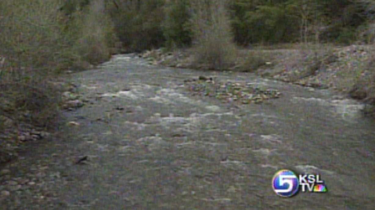
The stream in Big Cottonwood Canyon is running well, but it's nowhere near flood stage. And there isn't a major threat anywhere right now. But flood watchers are keeping an eye on The Bear River, the Weber, Blacksmith's Fork in Cache Valle and Emigration Creek, which feeds into Salt Lake City.

Here and there, Emigration Creek is out of its banks, running across a road and a driveway. In places it's eating away at its own banks. By tomorrow night it's expected to rise higher, probably without reaching actual flood stage.
But there is uncertainty about that. Scattered showers and thunderstorms could elevate the flood threat if heavy rain happens to fall into a key drainage on top of melting snow.
Skiers will tell you this has been a fine year for snow and they're sorry to see it come to an end. Many skiers today dressed in costumes or dressed in skimpy clothing. It's a tradition on closing day at Alta.
Erin Scales, Skier: "Actually, I think it was a very good year. We had a whole lot of snow. A lot of very good storms. Kind of a consistent year."
Onno Wieringa, Alta General Manager: "The essence of what we do here is skiing, and this is the best skiing year I can remember, and I've been here 35 years or so. I mean the storm timing and the quality of the storms, and the weather and everything. Skiing was just good every day."
There may actually be a little bit of fresh snow coming at the highest elevations with these isolated storms coming in. Nighttime temperatures are going to be a bit cooler and that should slow the runoff. That means the flood threat will likely decline later in the week.
So the key period is the next 36 hours or so. It's unlikely we'll see any flooding, but it could happen if too much rains falls in the wrong place.


