Estimated read time: Less than a minute
This archived news story is available only for your personal, non-commercial use. Information in the story may be outdated or superseded by additional information. Reading or replaying the story in its archived form does not constitute a republication of the story.
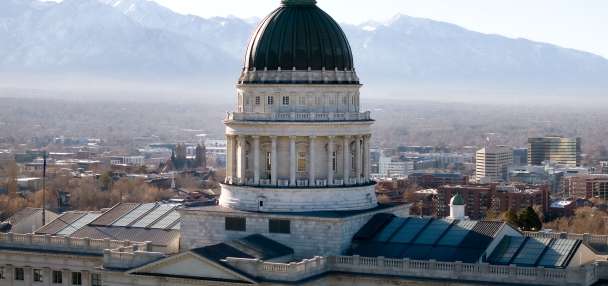
SALT LAKE CITY — Saturday-morning snow created treacherous conditions and caused numerous minor accidents for Utah drivers to start the weekend.
The Utah Department of Transportation Twitter account reported crashes on I-15, I-215 and many other roads across the Wasatch Front and the state.
A winter storm warning remains in effect for Alta, Brighton, Mirror Lake Highway, and Scofield until 5 p.m. Saturday, as the National Weather Service anticipates another 6 to 12 inches of snow in the area. Smaller snowfall totals were predicted over the weekend for cities across the state, from 1 inch in Logan to 2 inches in Cedar City.
Here is the additional snow we expect by the end of the weekend. #utwxpic.twitter.com/ftNOALpnQj
— NWS Salt Lake City (@NWSSaltLakeCity) December 14, 2019
UPD is enforcing the #tractionlaw at the mouth of both canyons. Expect delays on 9400 S and Wasatch Blvd. #drivewintersafe@CanyonAlerts@UDOTTRAFFICpic.twitter.com/r6Fll2z197
— UDOT Cottonwood Canyons (@UDOTcottonwoods) December 14, 2019
Light snow may continue throughout the day on the Wasatch Front, especially as temperatures fall from a predicted high of 41 degrees. Sunday's high temperature is forecast at 33 degrees with a 20% chance of snow.
Follow the KSL Weather Center for the latest updates.