Estimated read time: Less than a minute
This archived news story is available only for your personal, non-commercial use. Information in the story may be outdated or superseded by additional information. Reading or replaying the story in its archived form does not constitute a republication of the story.
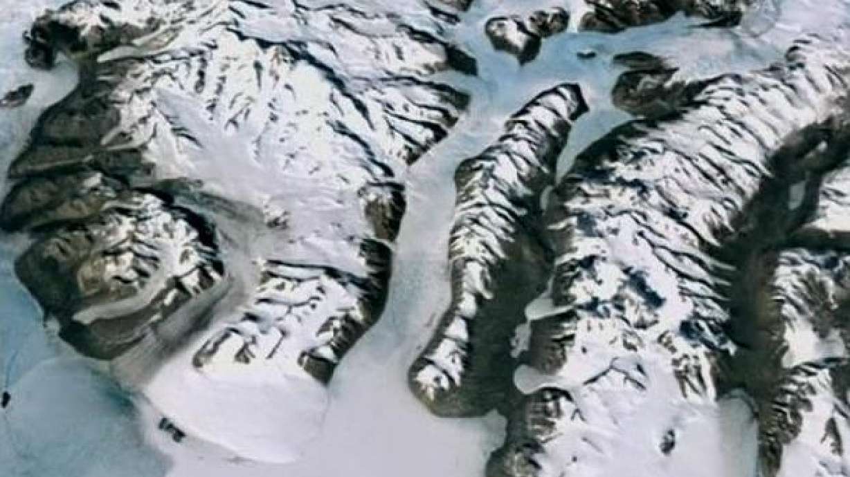
(KSL News) NASA releases new map of Antarctica that is supposed to be 10 times more detailed than any prior maps.
A NASA research team worked with several global science teams to put together the high definition map. The map is called the Landsat Image Mosaic of Antarctica.
It's a combination of 1,100 satellite images shot between 1999 and 2001. There are virtually no gaps, except a small hole near the South Pole.
You'll find more amazing images by going to the related link.


