Estimated read time: 2-3 minutes
This archived news story is available only for your personal, non-commercial use. Information in the story may be outdated or superseded by additional information. Reading or replaying the story in its archived form does not constitute a republication of the story.
- A small storm brought snow to the Wasatch Front on Tuesday morning.
- Accumulation ranged from 1 inch in low areas to 10 inches in canyons.
- UDOT issued a traction law for Little Cottonwood Canyon and warned of wet roads.
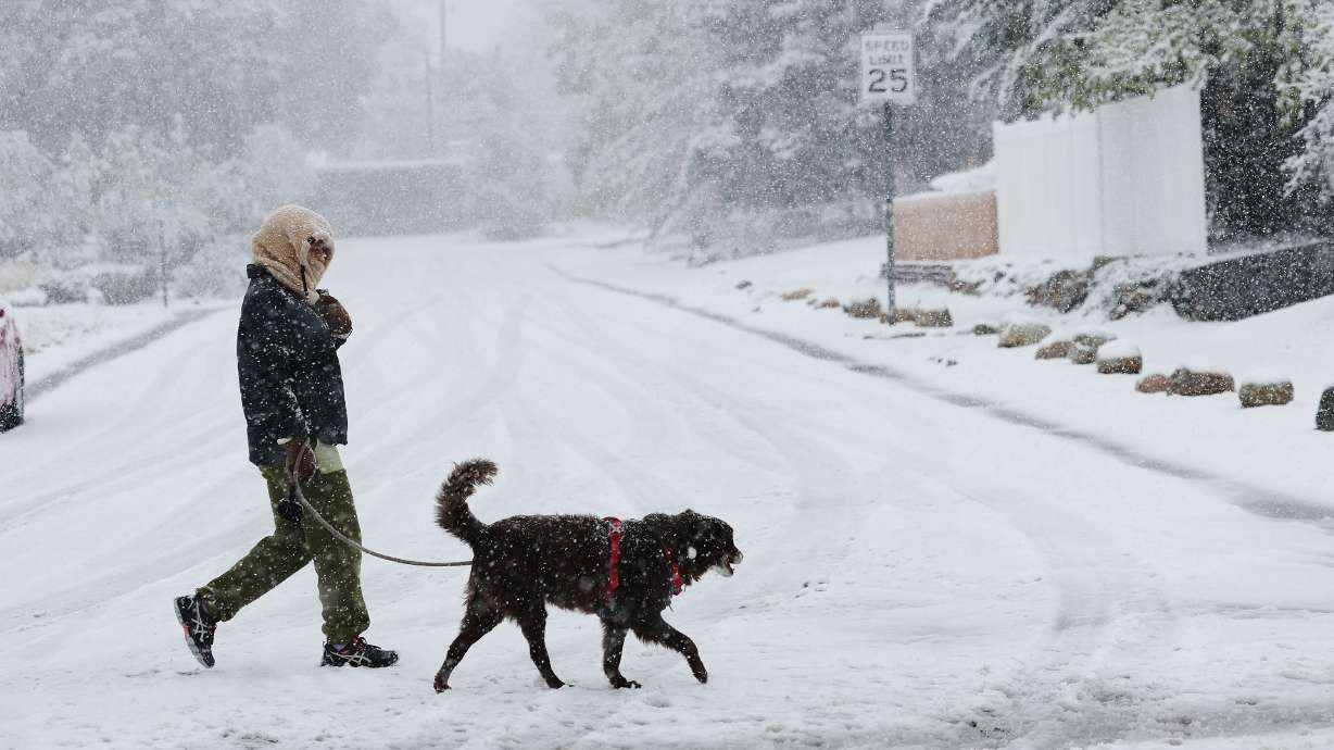
SALT LAKE CITY — Whether you were excited with visions of incoming powder turns or disappointed with the thought of upcoming months of scraping snow off your car windshield, a small storm arrived on the Wasatch Front, all the same, Tuesday morning.
KSL meteorologist Matt Johnson said rain switched to snow for most of the Wasatch Front and accumulation will likely be around 1 inch, with some bench areas picking up around 2 inches or so.
But for those enjoying it and those who aren't, Johnson said the snow showers should start to break up into the mid-morning.
"I think most of us will be really drying out toward the noon hour today and beyond," Johnson said.
In the mountains, the forecast is calling for 3 to 8 inches of accumulation, with the Cottonwood canyons relieving a bit more, around 5 to 10 inches.
The fresh snow has also put the traction law into effect for Little Cottonwood Canyon, the Utah Department of Transportation posted on social media Tuesday morning.
Roadway Restriction
— UDOT Traffic (@UDOTTRAFFIC) November 12, 2024
Both Directions SR 210 at MP 4-13 (Mouth of Ltl Cottonwood) Salt Lake Co.
Approved Traction Devices Required For All Vehicles
For updates: https://t.co/jaVMw7e9Jm
As far as other traffic concerns, UDOT said to expect wet roads.
"All lower elevation routes and most of I-15 will easily run wet. Some bench routes and lower canyons will see brief slush within a 2-3 hour period as the front moves through just after sunrise," UDOT said in a weather alert. "All upper canyons and summits/passes across the state will see upwards of a few inches of road snow throughout the morning. In the case of the Cottonwood Canyons, the mid canyon areas could actually see more snow than the upper canyons."
As far as central and southern Utah, UDOT said I-15 in the Cove Fort area and portions of I-70 in the southern part of the state will likely be just cold enough to see brief road snow and slush in the morning.
But by 3 p.m., most precipitation will be tapering off with lighter snowfall lingering over the mountains into the afternoon, particularly across northern Utah.
In addition to the snow, UDOT said "significant downslope winds" are expected along state Route 10 in Castle County between 11 a.m. and 9 p.m. today, with northwest winds gusting over 40 mph during this time.
While the second half of Tuesday should be on the drier side, Johnson said the next storm is expected on Saturday in the form of a rain/snow mixture.


