Estimated read time: 3-4 minutes
This archived news story is available only for your personal, non-commercial use. Information in the story may be outdated or superseded by additional information. Reading or replaying the story in its archived form does not constitute a republication of the story.
Was the storm that hit on Monday a supercell or a tornado? What is the difference?
Blake H.
Is that another super cell that has just formed over by Magna and Bacchus? It looks pretty ominous on VIPIR.
Trail R.
***********************************************************
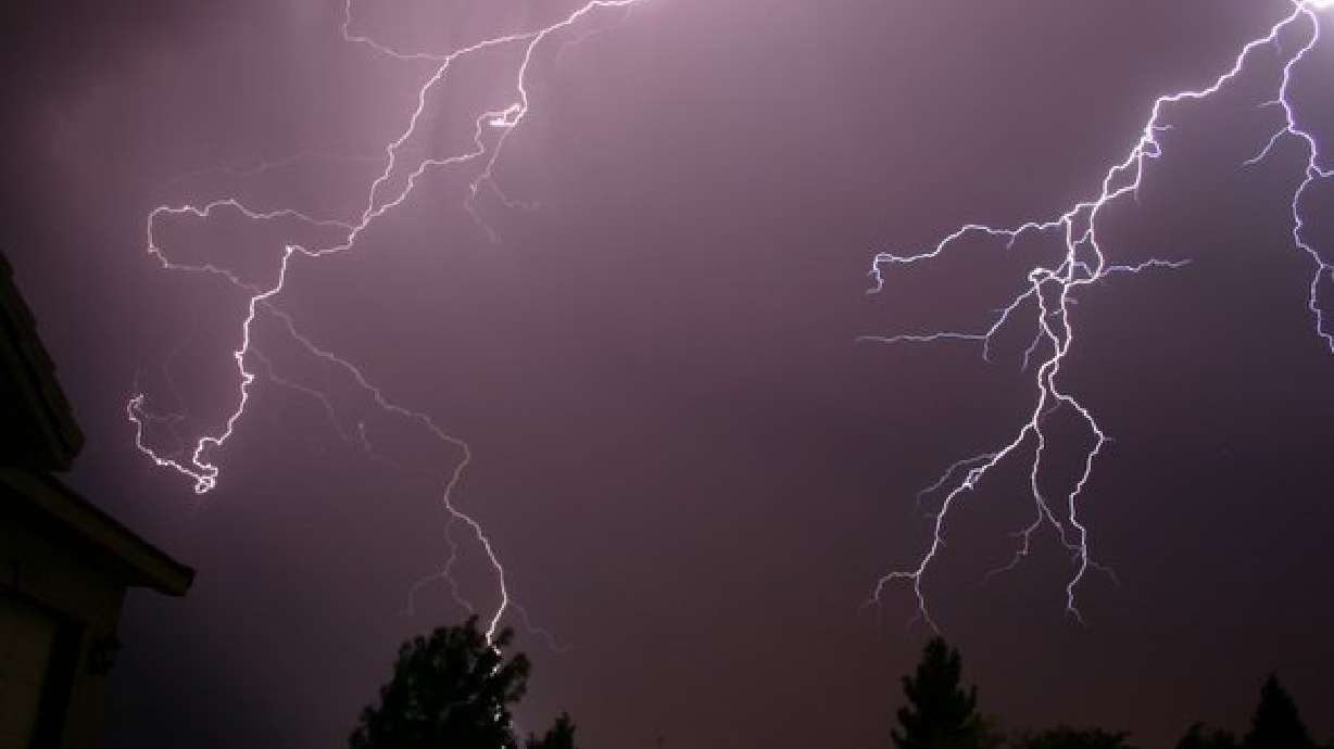
Our storms Tuesday kind of made a lot of people a little more aware of the weather. Supercells aren't rare in the midwestern US during tornado season, but are rare in this part of the country.
Thunderstorms develop when we have warm moist air, that air rises, cools and condenses and storms form. Supercells are special though, they aren't just ordinary storms. Winds higher up in the atmosphere work to twist the updraft. It's this rotating updraft that creates the supercell, these types of monster thunderstorms spawn tornadoes.
Supercells can last longer than regular storms, some can track for over 100 miles and still stay together. Tornado tracks from one storm can be well over 50 miles easily. When watching the radar for supercells we look for a few different things than watching regular rain.
The doppler radar, one of our most powerful tools in weather helps us see rain and thunderstorms all the time. But did you know the doppler can also help us see the wind inside the storm too? We measure something called doppler velocities. By doing this, we can see if the echoes are coming towards or away from the radar, if you can see that, you can tell if the storm has rotation inside of it or what we call a mesocyclone. Not all storms with mesocyclones produce tornadoes, but it's an indication that the storm has rotation and could produce a tornado at anytime.
Supercells cause wind damge with their passages as well and so do other large thunderstorms. Supercells can have large hail accompanying them, sometimes, as large as softballs or even bigger! There's another phenomena in weather we call the bow echo, and those can get really nasty as well.
We don't have as many of these giant storms over Utah simply becuase we don't have the right ingredients. Our friends to the east in Oklahoma or somewhere like Kansas or Missouri, have way more warm and humid air. Pair that with intense winds coming from different altitudes (the surface and then higher up) along with very powerful fronts or lifting mechanisms, that's where you get these mega storms more often.
Is every t-storm with red on the doppler a radar? Absolutely NOT. Don't get too worried about frequent supercells or intense thunderstorm activity here. Yes, we'll have large damaging storms again, but they won't be as frequent as other parts of the country. Your best bet to stay safe is to listen and watch the local media for watches and warnings and get a NOAA weather radio. You can program those for your county and they will alert you of any dangerous weather. They also make portable versions if you spend most of your time outdoors.
Here's some information over on the right where you can learn more about supercells. There's also a link to the May 4th 2003 tornado event that ripped through Southern Missouri. On this page you can click on some of the storms to see where they went, and what they looked like on the radar while they were causing damage. Supercells truly are a beast and their structure is amazing to watch develop.
Answered by KSL Meteorologist Dina Freedman.


