
Estimated read time: 2-3 minutes
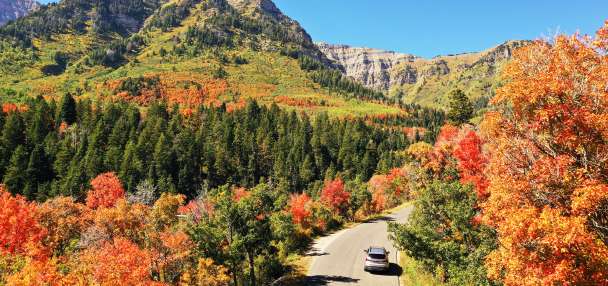
SALT LAKE CITY — Winter on Monday continued to trend in the wrong direction in northern Utah, with spring-like sunny skies, highs in the 50s and, once again, no snow.
While the conditions felt pleasant, scientists said the lack of precipitation is an ongoing problem for the snowpack, which is already at a record low for the state at the end of January.
“It’s bleak,” said National Weather Service hydrologist Glen Merrill during an interview with KSL. “Straight up, our snowpack — the state of our snowpack for the state — it’s at a record low. That’s bleak.”
In terms of simply being average for the year-to-date, Merrill said Utah was already four statewide snowstorms short — and would be five winter storms short by this time next week with mild and dry conditions forecast to continue.
“Pensacola, Florida, has had as much snow as we’ve had for the month of January,” Merrill said of the trace amount Salt Lake City saw during that timeframe.
Merrill said there is only a 1% chance of this type of winter playing out in Utah in any given year, and it was noteworthy that it was only playing out three years after 2023's opposite "1%" scenario of record-setting snowfall.
“You’ve kind of seen the range in possibilities within three years, and that’s really rare,” he said.
Merrill said, despite the dry winter, Utah wouldn’t run out of water this summer.
He predicted a much greater push toward water conservation, since a second consecutive dry winter would mean larger issues, and the snowpack is ultimately the source of 90 to 95% of the water supply.
“We’ve got enough water for this year,” Merrill said. “It’s more we need to conserve that water because we don’t know yet what next winter is going to be like.”
While he placed the likelihood of simply getting back to an average snowpack year at a roughly 10% chance, Merrill said there was also only a 10% chance of staying at a record low snowpack.
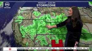
He said computer models were strongly leaning toward a change in mid-February with a cooler, wetter weather pattern.
With that change, Merrill said it was still unlikely the state would get anywhere close to average snowpack this year, but he did believe there was about a 50% chance of getting to roughly 70% of the average, which would be well out of record-low territory.
As far as reaching an average Utah snowpack, he said that 10% chance scenario would involve regular, statewide snowstorms lining up through early spring.
“We just need to turn the hose on, essentially,” Merrill said. “We just need that active pattern to set up and stay in place into early April.”