'%3e%3cpath%20d='M34.1406%205.85938C30.3906%202.10547%2025.3047%200%2020%200C14.6953%200%209.60938%202.10547%205.85938%205.85938C2.10938%209.61328%200%2014.6953%200%2020C0%2025.3047%202.10547%2030.3906%205.85938%2034.1406C9.61328%2037.8906%2014.6953%2040%2020%2040C25.3047%2040%2030.3906%2037.8945%2034.1406%2034.1406C37.8906%2030.3906%2040%2025.3047%2040%2020C40%2014.6953%2037.8945%209.60938%2034.1406%205.85938ZM37.0117%2023.543H31.1602V13.5391H27.6328V19.9414C28.1211%2020.6914%2028.3711%2021.582%2028.3711%2022.5625V22.625C28.3711%2023.668%2028.1172%2024.6055%2027.6328%2025.4297V26.6094H36.082C33.4883%2032.9375%2027.2891%2037.3789%2020.0039%2037.3789C10.3711%2037.3789%202.62109%2029.6289%202.62109%2020C2.62109%2010.3711%2010.3711%202.62109%2020%202.62109C29.6289%202.62109%2037.3789%2010.3711%2037.3789%2020C37.3789%2021.1484%2037.2617%2022.2656%2037.0508%2023.3477C37.0391%2023.4141%2037.0234%2023.4766%2037.0117%2023.543Z'%20fill='white'/%3e%3cpath%20d='M22.3086%2018.5352C20.4336%2018.125%2019.9531%2017.8398%2019.9766%2017.1836V17.1406C19.9766%2016.6992%2020.3477%2016.2148%2021.4023%2016.2148C22.582%2016.2148%2023.8867%2016.6797%2025.0781%2017.4766L26.8516%2015.0195C25.4453%2013.8906%2023.707%2013.3398%2021.5547%2013.3398C18.5195%2013.3398%2016.4375%2015%2016.4063%2017.4766V17.5352C16.3633%2020.2617%2018.5859%2020.9805%2021.293%2021.6016C23.0391%2021.9766%2023.5703%2022.3164%2023.5703%2022.9609L23.5469%2022.9766C23.5469%2023.3906%2023.2578%2023.7031%2022.7852%2023.8359C22.5742%2023.9062%2022.1289%2023.9727%2021.5156%2023.9727C20.7617%2023.9727%2019.7539%2023.8633%2018.6328%2023.4844C18.0898%2023.2891%2017.4727%2023.0039%2016.8047%2022.6133L20.1406%2026.625C20.2813%2026.6602%2021.0977%2026.8516%2021.7734%2026.8516C25.0039%2026.8516%2027.0859%2025.2461%2027.1094%2022.6328V22.5703C27.1602%2020.1133%2025.2148%2019.1719%2022.3086%2018.5352Z'%20fill='white'/%3e%3cpath%20d='M5.24219%2013.5664V26.6133H8.75391V23.7578L10.2969%2021.9531L14.2031%2026.6133H18.3867L12.3555%2019.5195L17.4023%2013.5664H13.4531L8.75391%2019.0586V13.5664H5.24219Z'%20fill='white'/%3e%3c/g%3e%3cdefs%3e%3cclipPath%20id='clip0_97_2430'%3e%3crect%20width='40'%20height='40'%20fill='white'/%3e%3c/clipPath%3e%3c/defs%3e%3c/svg%3e)


- Utah's 2026 wildfire season has burned over 474,000 acres, climbing up the record books.
- University of Utah researchers highlight 290,000 forest and woodland acres burned, surpassing past records.
- Wildmouth 2, Cottonwood and Babylon fires contributed to unprecedented forest and woodland loss.
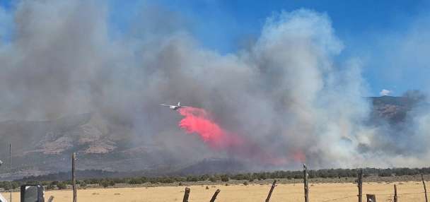
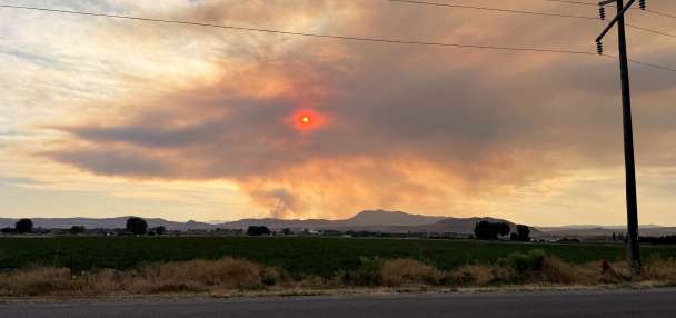
SALT LAKE CITY — The Wildmouth 2 Fire burning in Millard County suddenly surged to over 84,000 acres over the past week, quickly putting the 2026 destructive fire year closer to an unwanted record.
Over 474,000 acres have already burned this year — now either the second or third most, depending on two different numbers that have been published over the past decade for 2018. State land managers previously reported that nearly 486,000 acres burned in 2018, but now list that year as burning 438,983 acres.
Given the conditions, this year's total may vault past the higher number this week either way, making its place in the record books more definitive. The record remains 629,212 acres burned, which happened in 2007, although modern fire tracking only dates back a few decades.
However, what makes this year more surprising is what has burned, putting the 2026 fire year in a category of its own, researchers at the University of Utah School of Environment, Society and Sustainability say.
Nearly 290,000 acres of woodland and forested land combined have already burned this year, which is more than in any other year on record, according to preliminary research that the university released on Wednesday.
It surged past the previous record of 235,585 acres set in 2018, a massive jump in a trend that has slowly become worse over the past few decades, said Phil Dennison, a University of Utah professor who specializes in wildfire-related impacts and led the research.
"We've entered this period where Utah's forests and woodlands are burning much more frequently, (and) they're burning much larger areas," he said. "This is a very concerning trend that we're seeing because it's something that we didn't see in past years in Utah."
2026's spike in woodland and forest fires
Madi Vollmer, KSLThis year's total surge comes as Utah has experienced more massive fires than in recent history. The Cottonwood and Babylon fires, combined, burned over 204,000 acres in southern Utah between June and July, which is more land than what burned in the state last year.
These two also account for the two highest acreage counts in forest and woodland lost over at least 1986.
Forests are areas with at least 10% cover with taller tree species, like aspens, pines, spruces or furs on state, federal or private land. Woodland areas have smaller tree species like junipers, pinyon pines and gamble oaks in similar land types. The data was collected by reviewing fire perimeters and vegetation type maps that the U.S. Forest Service updates every year.
Combined, the Cottonwood and Babylon fires burned 172,260 acres of forest and woodland spaces.
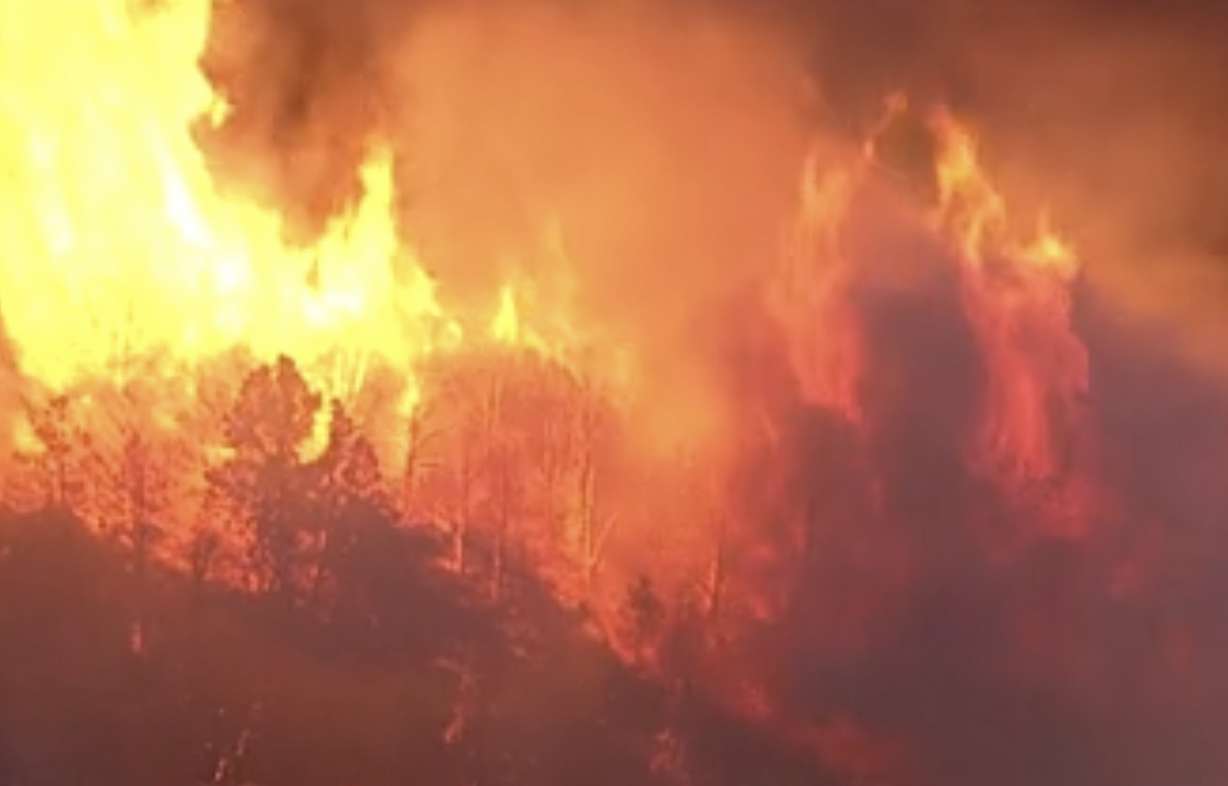
The Cherry and Iron fires essentially merged within the same period to burn 76,194 total acres near Eureka, Juab County, but neither burned quite as much as forest or woodland areas.
Monsoonal activity helped slowly put out these fires, but after a relative lull in fire activity toward the end of the middle of July, the hot, dry and windy conditions returned to start August, fueling the Wildmouth 2 Fire's rapid growth. It has already burned over 60,000 acres of forest and woodland area, jumping to the sixth-highest on record and counting.
A growing trend
Woodland and forest fires have become more common over the past decade after beginning to emerge at the beginning of the 21st century, Dennison explained as he presented his findings.
Most of Utah's fires between 1986 and 2001 burned in lower-elevation rangelands, with some reaching woodlands. The largest of these burned 13,000 acres of woodland space.
The 2002 Sanford Fire, a controlled burn that got away from foresters in Dixie National Forest, marked the first turning point as forest and woodland fires became more prevalent. It consumed 57,070 acres of forest and woodland area, which remains the eighth-most over the past 40 years. The Rattle Complex burned over 70,000 acres near Green River later in the year, which remains fifth for now.
A second turning point emerged nearly a decade ago, when forest and woodland fires became much larger in size. The 2017 Brian Head Fire was the first to burn over 50,000 acres of these types of forest space, but the Pole Creek and East Fork fires in 2018 and 2020 had become the largest types of these fires on record before they were surpassed by the Babylon and Cottonwood fires.
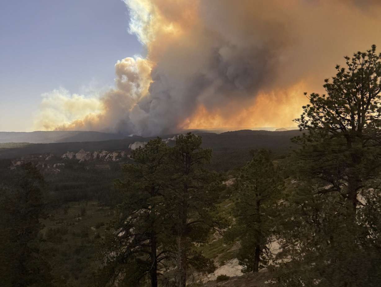
The rise seems to align with the rise of the Western "megadrought," a series of droughts over the past two decades, which has dried out the region, Dennison explained. This year's spike followed the state's worst snowpack on record, along with some of the worst spring runoff conditions since 2002.
Wednesday's report aligns with some of the anecdotal stories from people nearest to this year's fires, including federal foresters, state land managers and even legislators.
"Everything is so dry that the trees burn like cheatgrass," Rep. Carl Albrecht, R-Richfield, told his legislative colleagues in June when he was describing the Cottonwood Fire. "It's unprecedented and very, very scary."
It matters because it has public safety, economic and environmental implications, he added. The Cottonwood and Babylon fires burned over 150 structures. Eagle Point Resort will not reopen this winter after suffering damage from the Cottonwood Fire, while Albrecht lamented that it could take decades for the region's timber economy to recover from the tree loss.
A new normal?
It's impossible to know now if this year's surge is the beginning of a fourth era of fires, but Dennison expects mid-elevation fires will continue to burn forest and woodland areas.
A new state law aimed at keeping homes insured highlighted almost 60,000 properties considered at "high risk" of fires went into effect before this year's active season. This year's fires have since rekindled debates over forest management.
Thinning and fuels management might help, but it probably wouldn't change the overarching trend, which is caused by the drying conditions, Dennison said. He points to "aggressive" treatment plans at the Monroe Mountain that didn't stop it from losing tens of thousands of acres last year.
"It's a scale problem where we can't treat everything," he said.
While this year's record is troubling, he's most worried about where future fires might start.
Many of the recent mid-elevation fires have been in southern and central Utah, along with some in eastern Utah, but the Wasatch range — closest to the state's population hub — has gone mostly unscathed. The Pole Creek Fire that affected southern Utah County is one of the few exceptions over the past 40 years.
"My biggest concern is that we're moving into a drier, hotter future where that may no longer be true," he said. "We may be headed toward more fires at higher elevation even in the Wasatch."