'%3e%3cpath%20d='M34.1406%205.85938C30.3906%202.10547%2025.3047%200%2020%200C14.6953%200%209.60938%202.10547%205.85938%205.85938C2.10938%209.61328%200%2014.6953%200%2020C0%2025.3047%202.10547%2030.3906%205.85938%2034.1406C9.61328%2037.8906%2014.6953%2040%2020%2040C25.3047%2040%2030.3906%2037.8945%2034.1406%2034.1406C37.8906%2030.3906%2040%2025.3047%2040%2020C40%2014.6953%2037.8945%209.60938%2034.1406%205.85938ZM37.0117%2023.543H31.1602V13.5391H27.6328V19.9414C28.1211%2020.6914%2028.3711%2021.582%2028.3711%2022.5625V22.625C28.3711%2023.668%2028.1172%2024.6055%2027.6328%2025.4297V26.6094H36.082C33.4883%2032.9375%2027.2891%2037.3789%2020.0039%2037.3789C10.3711%2037.3789%202.62109%2029.6289%202.62109%2020C2.62109%2010.3711%2010.3711%202.62109%2020%202.62109C29.6289%202.62109%2037.3789%2010.3711%2037.3789%2020C37.3789%2021.1484%2037.2617%2022.2656%2037.0508%2023.3477C37.0391%2023.4141%2037.0234%2023.4766%2037.0117%2023.543Z'%20fill='white'/%3e%3cpath%20d='M22.3086%2018.5352C20.4336%2018.125%2019.9531%2017.8398%2019.9766%2017.1836V17.1406C19.9766%2016.6992%2020.3477%2016.2148%2021.4023%2016.2148C22.582%2016.2148%2023.8867%2016.6797%2025.0781%2017.4766L26.8516%2015.0195C25.4453%2013.8906%2023.707%2013.3398%2021.5547%2013.3398C18.5195%2013.3398%2016.4375%2015%2016.4063%2017.4766V17.5352C16.3633%2020.2617%2018.5859%2020.9805%2021.293%2021.6016C23.0391%2021.9766%2023.5703%2022.3164%2023.5703%2022.9609L23.5469%2022.9766C23.5469%2023.3906%2023.2578%2023.7031%2022.7852%2023.8359C22.5742%2023.9062%2022.1289%2023.9727%2021.5156%2023.9727C20.7617%2023.9727%2019.7539%2023.8633%2018.6328%2023.4844C18.0898%2023.2891%2017.4727%2023.0039%2016.8047%2022.6133L20.1406%2026.625C20.2813%2026.6602%2021.0977%2026.8516%2021.7734%2026.8516C25.0039%2026.8516%2027.0859%2025.2461%2027.1094%2022.6328V22.5703C27.1602%2020.1133%2025.2148%2019.1719%2022.3086%2018.5352Z'%20fill='white'/%3e%3cpath%20d='M5.24219%2013.5664V26.6133H8.75391V23.7578L10.2969%2021.9531L14.2031%2026.6133H18.3867L12.3555%2019.5195L17.4023%2013.5664H13.4531L8.75391%2019.0586V13.5664H5.24219Z'%20fill='white'/%3e%3c/g%3e%3cdefs%3e%3cclipPath%20id='clip0_97_2430'%3e%3crect%20width='40'%20height='40'%20fill='white'/%3e%3c/clipPath%3e%3c/defs%3e%3c/svg%3e)


Estimated read time: 2-3 minutes
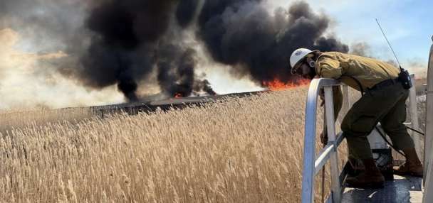
A potentially record-shattering El Niño is underway, and we're already seeing its effects. From wildfires in Indonesia to an unusually active tropical cyclone season in the Pacific, the phenomenon has a cascading effect on global weather patterns that will peak during the upcoming winter.
On Thursday morning, the National Oceanic and Atmospheric Administration boosted the odds that this El Niño will exceed the intensity of all others since at least 1950 to 83%, up from an already high 75% chance last month.
Scientists predict and classify El Niño based on warmer-than-usual ocean temperatures in an area called the "Niño 3.4 Region" of the central Pacific Ocean, near the equator:
When this part of the Pacific becomes warm enough, usually in late summer or early fall, experts declare that an El Niño is underway. El Niño is a natural climate cycle that occurs once every few years, but this ongoing event stands out for its extraordinary intensity.
NOAA's Climate Prediction Center now classifies these events based on the Relative Oceanic Niño Index (RONI), a metric that uses Niño 3.4 region temperature anomalies and subtracts out the mean temperature of the global tropical oceans. This way, the index accounts for long-term climate change, which is also warming the oceans and effectively amplifying the signature of El Niño.
An anomaly of at least 0.5° C above average indicates an El Niño is present. This season's El Niño hit an anomaly of 2°C above average in early September, putting it in the "very strong" or "super" El Niño territory. Experts expect it to continue to climb, and nearly all computer models that project the intensity of these events show it setting an all-time intensity record sometime this fall or winter.
Weekly RONI values give us an indication of the strength of this El Niño. The historical record of El Niño relies on averages across three-month intervals, which has the effect of smoothing out shorter-term variability. Past very strong El Niños occurred in 2015 to 2016, as well as 1997 to 1998 and 1982 to 1983.
This season has already become a super El Niño, and current trends indicate it will likely become the strongest El Niño in recorded history.