Estimated read time: 2-3 minutes
This archived news story is available only for your personal, non-commercial use. Information in the story may be outdated or superseded by additional information. Reading or replaying the story in its archived form does not constitute a republication of the story.
SALT LAKE CITY — The mountain snowpack is still the largest seen in 10 to 15 years with enough left in the mountains to pose a flooding threat for a few more weeks.
"A week of mid-80s will cause flooding. Lower temperatures would drop that threat," says a Friday situation report from the Utah Division of Emergency Management. "Let's not forget that people need to be extremely cautious around rivers and creeks, which are cold and running fast."
KSL meteorologists are forecasting temperatures in the mid- to upper 70s through Monday, with Tuesday being the first day the daytime high is expected to reach 80. But the longer-range forecast shows temperatures continuing to climb after that, reaching 86 by Thursday. That trend will steadily increase streamflows as mountain snow continues to melt.
Related:

Flood Watch: River Flow Tracker
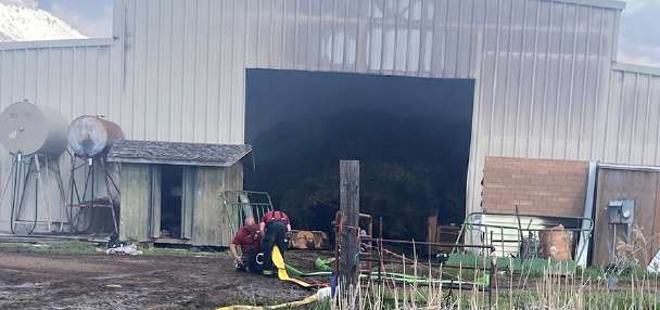
Track the water levels of creeks and rivers near you with our Live 5 River Flow Tracker.Shorter term, flood warnings for high river flows expired Friday for Lost Creek in Morgan County, the south fork of the Ogden River in Weber County, and the Weber River in Davis, Morgan, Summit and Weber counties. Flooding on the lower Weber County near the Great Salt Lake is not the result of high river flows as much as a levee that broke Thursday morning.
In Juab, Piute, Sanpete and Sevier counties, a flood warning for the Sevier River from Piute Reservoir to Yuba Lake expired Friday afternoon.
Moderate flooding is being reported on the Green River near Jensen in Uintah County and near Green River in Grand County. Minor flooding has been in the forecast for the Colorado River in Grand County near the Utah-Colorado state line, but that warning was expected to expire Friday afternoon.
The Utah Department of Transportation reports flooding on roadways may slow or close segments of state Route 128 in Grand County, state Route 100 in Millard County, state Route 16 in Rich County in the area of Wolf Creek, and state Route 118 in Sevier County, where the road Friday was closed at milepost 1.5 in Joseph due to flooding from the Sevier River.
UDOT reports it is still delaying the opening of several seasonal roads because of remaining mountain snowpack. Those include state Route 39 in Monte Cristo east of Ogden; state Route 65 in East Canyon northeast of Salt Lake City; state Route 190 in Guardsman Pass between Brighton and Park City; state Route 224 in Guardsman Pass between Park City and Midway; state Route 92, the American Fork Canyon/Alpine Loop; state Route 150, the Mirror Lake Highway between Kamas and the Wyoming border; state Route 35, the Wolf Creek Pass between Francis and Hanna; state Route 153, the Mount Holly Junction east of Beaver; and state Route 148, Cedar Breaks east of Cedar City.
Email:sfidel@ksl.com