Estimated read time: Less than a minute
This archived news story is available only for your personal, non-commercial use. Information in the story may be outdated or superseded by additional information. Reading or replaying the story in its archived form does not constitute a republication of the story.
SALT LAKE CITY — Sunday's storm was, well, a pain in the neck.
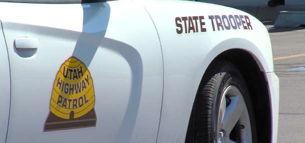
Weather was a contributing factor in 121 crashes along the Wasatch Front Sunday, six of the collisions resulting in injuries, primarily neck and back pain, the Utah Highway Patrol reported Sunday.
Dozens of cars also slid off roadways, 32 alone in Salt Lake County, which racked up 84 total crashes with property damage and 14 resulting in injuries. In Utah County, there were 21 crashes, 10 in Weber County and six in Davis County.
While roads were slick and some motorists traveled too fast for conditions resulting in crashes, the UHP said, snow totals along the Wasatch Front ranged from nearly 7 inches on the Bountiful bench to nearly 5 inches at the Salt Lake International Airport, according to the National Weather Service.
The storm dumped about 7 inches in Herriman and 6 inches in Cottonwood Heights, according to National Weather Service storm totals.
I'm guessing about 5-7 inches in Cottonwood Heights. A snow day for sure. #utwx@NWSSaltLakeCitypic.twitter.com/fvQNebpVT8
— Carla Pruitt, MPC (@crobscarla) January 24, 2016
While light snow fell into Sunday afternoon, there is only a 10 percent chance of precipitation on Monday, according to the KSL Weather Center.
On Monday, cloudy skies and a high temperature of 37 degrees are forecast for Salt Lake City.
Contributing: Sandra Yi