Estimated read time: 2-3 minutes
This archived news story is available only for your personal, non-commercial use. Information in the story may be outdated or superseded by additional information. Reading or replaying the story in its archived form does not constitute a republication of the story.
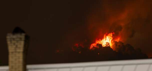
SALT LAKE CITY — Water watchers worried about wells in Snake Valley — the focus of a controversial plan to pump water from an aquifer that straddles the Utah-Nevada border — can with just a few clicks track water level trends out in Utah's Great Basin region.
The Utah Geological Survey is making its ground-water monitoring data available online for Snake Valley and adjacent areas as well as the water level in wells near landslides along the Wasatch Front.
Users can find wells and springs using a map interface, view graphs of the data and even download graphic data in several formats.
Critics fear taking the water will drawn down the aquifer, jeopardizing the needs of area water users, which include ranchers and farmers in Utah.
A press release by the survey said it has made the information available in part due to a groundswell of interest in a proposed water-development project in Snake Valley, which straddles the border of western Utah and eastern Nevada.
The Southern Nevada Water Authority has proposed pumping water from an aquifer to to Las Vegas. Critics fear taking the water will drawn down the aquifer, jeopardizing the needs of area water users, which include ranchers and farmers in Utah. Much of the water fed into the aquifer comes from the mountains of Nevada, however, and the water authority say it is within its rights to take its share of the water.
Nevada's interest in the water led to a contested water-sharing agreement between the two states that proposed to divvy up the water. That agreement has been put on hold pending the resolution of legal issues.
Survey data show the ground-water levels, which have been continuously monitored by the agency since 2007, have declined in areas of current pumping, suggesting that use is at or near the maximum sustainable rate for the region. The survey said if pumping rates increase in the future, water levels would likely decline.
The Ground-Water Monitoring Data Portal, which contains more than one million records, is a collaborative effort between the UGS’s Geologic Hazards and Ground-Water & Paleontology programs. To view the data and learn more about the monitoring projects, go to the Utah Geological Survey Ground Water Monitoring Data Portal.
Email:aodonoghue@ksl.com