Estimated read time: 2-3 minutes
This archived news story is available only for your personal, non-commercial use. Information in the story may be outdated or superseded by additional information. Reading or replaying the story in its archived form does not constitute a republication of the story.
SALT LAKE CITY — The National Weather Service is pointing out the last time it was this dry in Salt Lake City through mid-November, Lyndon B. Johnson was president of the United States and the Monkees’ “Daydream Believer” was at the top of the charts.
Yes, it’s been 52 years since Salt Lake City logged zero precipitation through Nov. 14, and the agency doesn’t believe this dry trend will end over the next few days — despite the arrival of a cold front this weekend.
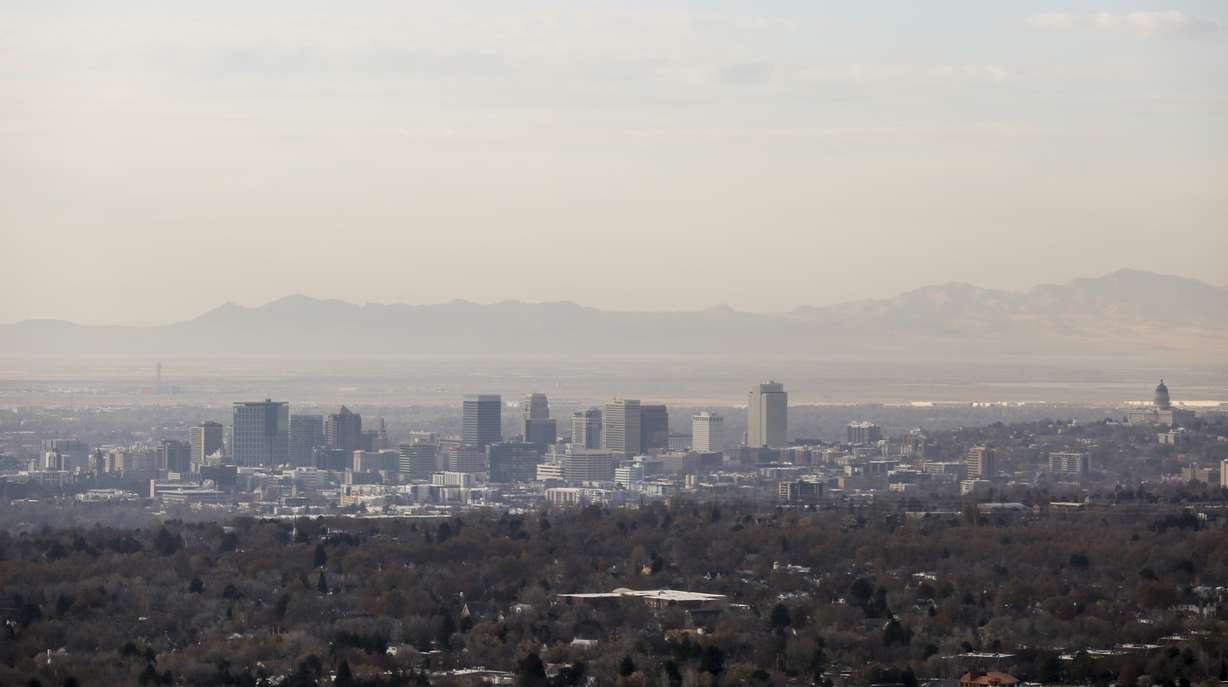
Areas of moderate drought, in fact, are expanding across the Southwest and creeping into south and central Utah. With the dry weather comes haze and the Division of Air Quality’s forecast for moderately unhealthy conditions to continue into the weekend.
“We don’t have any sort of weather pattern to push the pollution out of the valley, so it continues to build,” said Donna Kemp Spangler, spokeswoman with the Utah Department of Environmental Quality. “If you can avoid driving, do so. That just adds to the poor air quality. Consolidate trips or take transit.”
Glen Merrill, a forecaster with the National Weather Service in Salt Lake City, said the city sits at 22% of normal for the water year that began last month.
“It gets worse the farther south you go,” he said, noting that St. George is holding on to a record-breaking 151 consecutive days of no measurable precipitation. He added that the last time there was 1/100 of an inch of rainfall in St. George was June 17.
However, Merrill said a couple of good storms in the Dixie region could put St. George in the record books for precipitation — if you look back at the beginning of the year.

He said it was extremely wet the first half of the year for Utah.
“It was such a wet winter, we were drought-free going into the summer. We had a lot of precipitation and then the spigot turned off,” Merrill said.
The good news is the pattern over the central Pacific is starting to change and beginning to look more favorable, he said.
A storm system will develop Tuesday through Thursday, and Merrill said it is likely St. George will get a little rain, and northern Utah will be a bit unsettled.
It’s important to remember, too, that even though it has been exceptionally dry, last year started out slowly for storms as well and then it changed.
“It’s been this roller coaster of abnormality, going from really dry to really wet and really dry again, but we are only a month and a half into it,” Merrill said. “We can’t stick a fork in it yet. Stay positive.”


