Estimated read time: 2-3 minutes
This archived news story is available only for your personal, non-commercial use. Information in the story may be outdated or superseded by additional information. Reading or replaying the story in its archived form does not constitute a republication of the story.
BIG COTTONWOOD CANYON — It's a great time of year to pack a sandwich and head to Desolation Lake for a picnic lakeside.
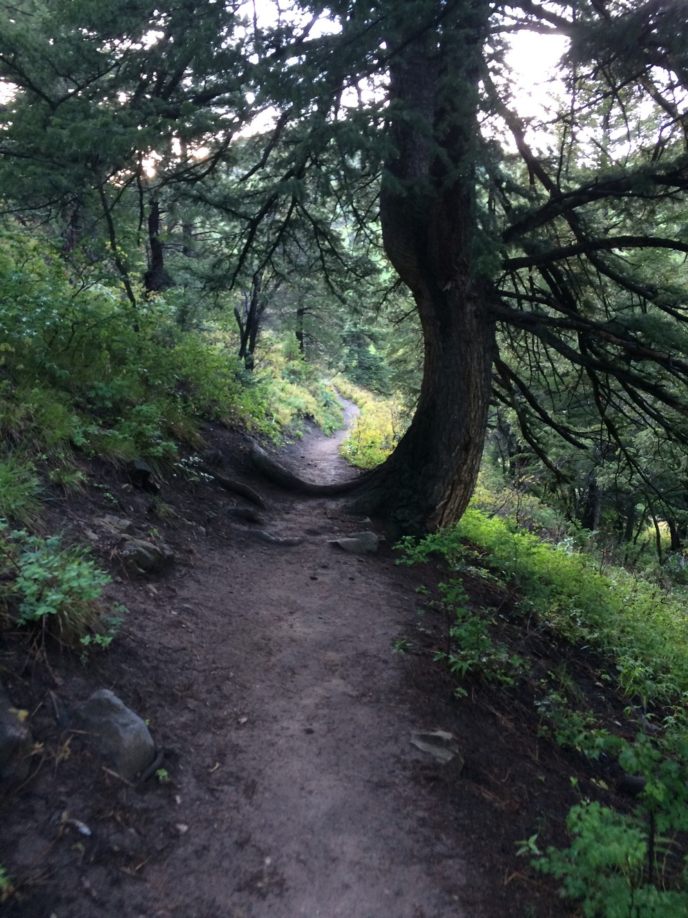
This 3.8 mile hike to the cirque lake (a lake carved by the head of a glacier) from Mill D climbs slowly, making this hike accessible to those who may struggle with sharp elevation gains. The trail is well-marked, occasionally shaded and follows a stream for some time.
Hikers will start at the Mill D North Fork parking lot. The trail climbs immediately but quickly levels out and gives the first view down into Big Cottonwood Canyon. From there, check out the glacially carved U-shape as the trail wraps around the hill's curve and up toward the lake.
Along the trail are some nice, shady spots. In one shaded area about 1.5 miles up, there is a sign pointing to Desolation Lake or Dog Lake in Millcreek Canyon. Keep right and follow the trail uphill.
Celeste Tholen Rosenlof
Toward the end of the hike, the trail will level out and open up and signs reminding backpackers where they can camp. The trail disappears near the lake basin.
For those interested in camping overnight, there are several spots along the blue-green lake.
Find a spot along the shore — on several large rocks, the small shore or in the grass up on the hillsides — for a picnic lunch and enjoy the cooler mountain air before heading back down.
To get to the trailhead from I-215, take Exit 6 and head east on 6200 South until Big Cottonwood Canyon Road. Turn left and head up the canyon for about nine miles to the Mill D trailhead parking lot on the north side of the road. A bathroom is across the road to the south. There is also an interpretive sign telling visitors about the glacial activity that created the upper part of the canyon.
Difficulty: Moderate
Distance: 7.5 miles round trip
Duration: Three to four hours